Road stops in Graaff Reinet, Eastern Cape, South Africa
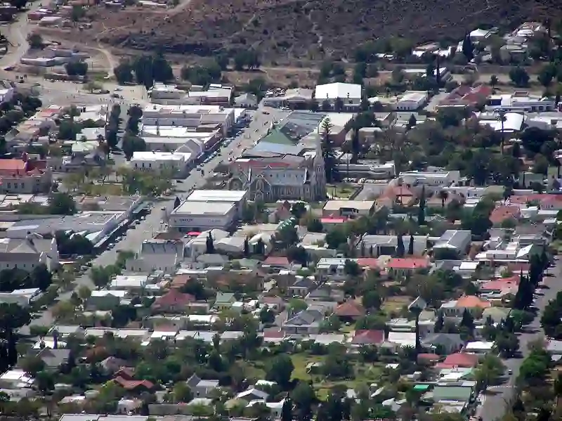
RoadBreakMap lists 13 mapped road stops in Graaff Reinet, Eastern Cape, South Africa: fuel, EV chargers, rest areas, drive-throughs and public toilets, where the data has them. Data: OpenStreetMap and Open Charge Map.
About Graaff Reinet
Graaff Reinet is located in the Eastern Cape of South Africa. It is home to Reinet House, a museum that was built between 1805 and 1812 as a parsonage for the Dutch Reformed Church. The building was constructed by slaves and community members. It has an h-shaped design with six gables and was made using local materials. The museum includes the Mill House, Wagon House, and a grape vine planted in 1870 that still produces fruit today. Reinet House has served various roles over the years, including a hostel for training girls as teachers.
Source: Wikipedia (CC BY-SA 4.0) and Wikidata, rewritten for RoadBreakMap.
Places
Listed with the most recorded facilities first. This is not a rating or a recommendation; always check before you travel.
- Astron Energy
- Opening hours listed
- Shell
- Opening hours listed
- Wheelchair access
- Astron Energy
- Opening hours listed
- Drostdy Hotel (Graaff-Reinet)
- Fast EV (60 kW)
- Engen
- Engen
- Fuel
- Public toilets
- Free
- Quest
- Rest areas
- Rest areas
- Rest areas
- Public toilets
Nearby: Middelburg Cradock Colesberg Kariega Jeffreys Bay Beaufort West Motherwell Gqeberha Plettenberg Bay Knysna Worcester Queenstown
Places, opening hours and charger details come from open data and may be incomplete, out of date or wrong. Never use your phone while driving. Disclaimer & terms