Road stops in Colesberg, South Africa
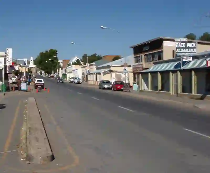
RoadBreakMap lists 16 mapped road stops in Colesberg, South Africa: fuel, EV chargers, rest areas, drive-throughs and public toilets, where the data has them. Data: OpenStreetMap and Open Charge Map.
About Colesberg
Colesberg is a town in the Northern Cape province of South Africa, situated in the Umsobomvu Local Municipality. It lies along the main N1 road connecting Cape Town and Johannesburg. The town has a population of 17,354 and is located at an elevation of 1,369 meters. Colesberg is part of a large sheep-farming area that spans over half a million hectares, known for breeding some of the country's top merinos. Additionally, the region is recognized for producing high-quality racehorses, with several stud farms located nearby.
Source: Wikipedia (CC BY-SA 4.0) and Wikidata, rewritten for RoadBreakMap.
Places
Listed with the most recorded facilities first. This is not a rating or a recommendation; always check before you travel.
- Shell
- Open 24 hours
- Wheelchair access
- Shell Ultra City
- Open 24 hours
- Wheelchair access
- Astron Energy N1 Colesberg
- Open 24 hours
- Astron Metro Park
- Open 24 hours
- Colesberg 1-Stop
- Open 24 hours
- Engen
- Open 24 hours
- Astron Energy
- Opening hours listed
- Astron Energy
- Opening hours listed
- Cash Express
- Open 24 hours
- Colesberg 1-Stop
- Colesberg Ultra City
- Caltex Colesberg
- Fast EV (150 kW)
- Engen Colesberg 1 Stop
- Fast EV (60 kW)
- DC at OK Foods Colesberg
- EV up to 30 kW
- Rest areas
- Rest areas
Nearby: Middelburg Cradock Aliwal North Graaff Reinet Bloemfontein Kimberley Queenstown Worcester Beaufort West Kariega Bhisho Virginia
Places, opening hours and charger details come from open data and may be incomplete, out of date or wrong. Never use your phone while driving. Disclaimer & terms