Road stops in Thốt Nốt, Can Tho City, Vietnam
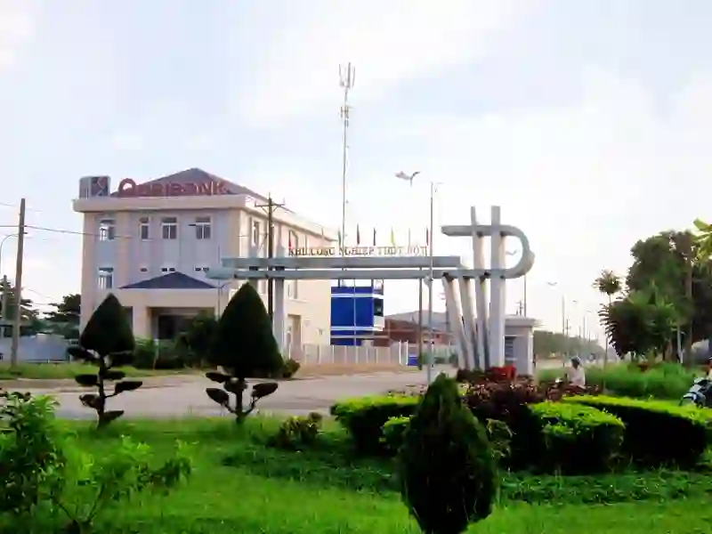
RoadBreakMap lists 25 mapped road stops in Thốt Nốt, Can Tho City, Vietnam: fuel, EV chargers, rest areas, drive-throughs and public toilets, where the data has them. Data: OpenStreetMap and Open Charge Map.
About Thốt Nốt
Thốt Nốt is an old district in Can Tho City, Vietnam, located in the Mekong Delta region. It is bordered by Vĩnh Thạnh district and An Giang province to the south and west, and by Đồng Tháp province to the north. Thốt Nốt was formerly an urban district of Cần Thơ.
Source: Wikipedia (CC BY-SA 4.0) and Wikidata, rewritten for RoadBreakMap.
Places
Listed with the most recorded facilities first. This is not a rating or a recommendation; always check before you travel.
- Cây xăng Trường Cửu
- Petec
- Petrol Ofisi
- Thong Dong
- Opening hours listed
- Trạm cấp phát Xăng dầu An Bình
- Trạm xăng Hùng Hiếu
- Trạm xăng Năm Tình
- Tóng Dạilỳ
- Tóng Dạilỳ
- Public toilets
- CX vinh thanh
- Cửa Hàng xăng dầu Điện Hiền 11
- Hóng Hao
- Trạm dừng chân Phước Tiến 3
- Trạm xăng Kinh Xáng - Cả Ngây
- Trạm xăng Ngã Năm Lai Vung
- EV chargers
- Fuel
- Fuel
- Fuel
- Fuel
- Fuel
- Fuel
- Fuel
- Fuel
Nearby: Cao Lãnh Bình Thủy Cần Thơ Vĩnh Long Hồng Ngự Cai Lậy Tân Châu Rạch Giá Tịnh Biên Mỹ Tho Bến Tre Tân An
Places, opening hours and charger details come from open data and may be incomplete, out of date or wrong. Never use your phone while driving. Disclaimer & terms