Road stops in Cai Lậy, Dong Thap, Vietnam
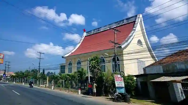
RoadBreakMap lists 23 mapped road stops in Cai Lậy, Dong Thap, Vietnam: fuel, EV chargers, rest areas, drive-throughs and public toilets, where the data has them. Data: OpenStreetMap and Open Charge Map.
About Cai Lậy
Cai Lậy is a district in the Mekong Delta region of Vietnam, located in Tiền Giang. It covers an area of 296 km2 and has a population of 193,328. The district capital is in Bình Phú, and the town of Cai Lậy was established in 2013. The area is primarily agricultural, with many small holdings growing fruits such as custard apples, sweet mango, and pomelos.
Source: Wikipedia (CC BY-SA 4.0) and Wikidata, rewritten for RoadBreakMap.
Places
Listed with the most recorded facilities first. This is not a rating or a recommendation; always check before you travel.
- CX Huệ huệ
- Cây xăng Hoàng Thọ
- PVOIL
- Số 35 - Cai Lậy
- Fuel
- Fuel
- Fuel
- Fuel
- CX hong Đức
- Cây xăng Thanh Sự 5
- Fuel
- Fuel
- Fuel
- Fuel
- Fuel
- Fuel
- Fuel
- Fuel
- Fuel
- Rest areas
- Rest areas
- Public toilets
- Public toilets
Nearby: Vĩnh Long Mỹ Tho Bến Tre Tân An Bình Thủy Cần Thơ Cao Lãnh Thốt Nốt Cần Giuộc Quận Sáu Quận Mười Một Trà Vinh
Places, opening hours and charger details come from open data and may be incomplete, out of date or wrong. Never use your phone while driving. Disclaimer & terms