Road stops in Mérida, Merida, Venezuela
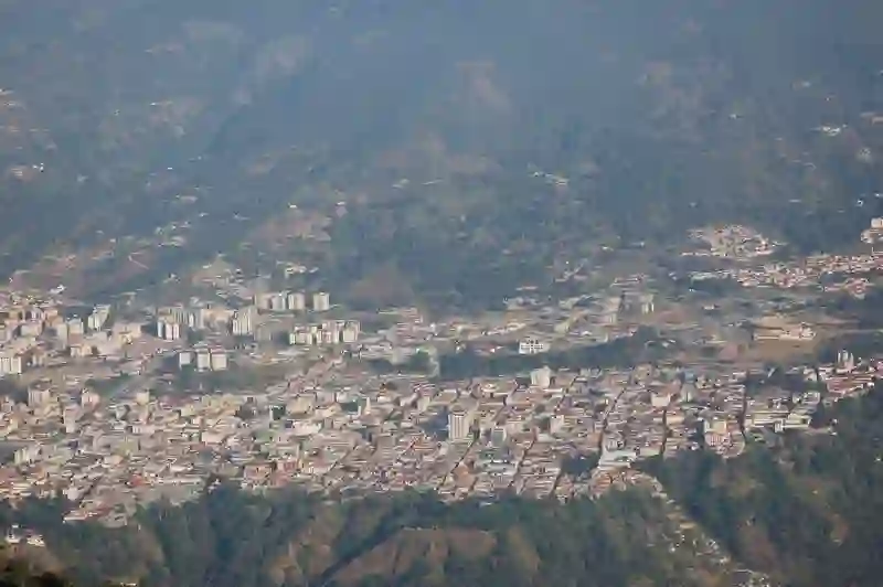
RoadBreakMap lists 37 mapped road stops in Mérida, Merida, Venezuela: fuel, EV chargers, rest areas, drive-throughs and public toilets, where the data has them. Data: OpenStreetMap and Open Charge Map.
About Mérida
Mérida is a city in Venezuela, located in the Libertador municipality. It was founded in 1558 and is the capital of Mérida State. The city sits at an elevation of 1,630 meters and is known for its population of around 248,192. Mérida features the highest and longest cable car in the world and is a major center for students and tourists in western Venezuela. The Chama River flows through the valley where the city is located, and the highest summit in the country, Pico Bolívar, is visible from the city.
Source: Wikipedia (CC BY-SA 4.0) and Wikidata, rewritten for RoadBreakMap.
Places
Listed with the most recorded facilities first. This is not a rating or a recommendation; always check before you travel.
- E/S Sol de Oriente
- Opening hours listed
- E/S Becerra
- E/S Pascual Esperanza
- Transporte de la ULA
- Opening hours listed
- Apartaderos
- E/S Alba Lago
- E/S Bella Vista
- Public toilets
- Free
- E/S Maduza
- Farmatodo
- PDV
- PDV Lago America 24 Horas
- Trebol
- Trébol
- E/S Jáuregui Mucuchíes
- E/S Los llanitos de Tabay
- E/S Mario Charral
- E/S Playa Grande
- E/S San Rafael de Mucuchíes
- Petrol
- Petrolea
- Fuel
- Fuel
- Fuel
- Fuel
- Fuel
- Fuel
- Fuel
- Fuel
- Fuel
- Fuel
- Fuel
- Public toilets
- Public toilets
- Public toilets
- Public toilets
- Public toilets
Nearby: Ejido El Vigía Valera Barinas Táriba Guanare San Cristóbal Ciudad Ojeda Cabimas Carora Machiques Maracaibo
Places, opening hours and charger details come from open data and may be incomplete, out of date or wrong. Never use your phone while driving. Disclaimer & terms