Road stops in Barinas, Barinas, Venezuela
RoadBreakMap lists 31 mapped road stops in Barinas, Venezuela: fuel, EV chargers, rest areas, drive-throughs and public toilets, where the data has them. Data: OpenStreetMap and Open Charge Map.
About Barinas
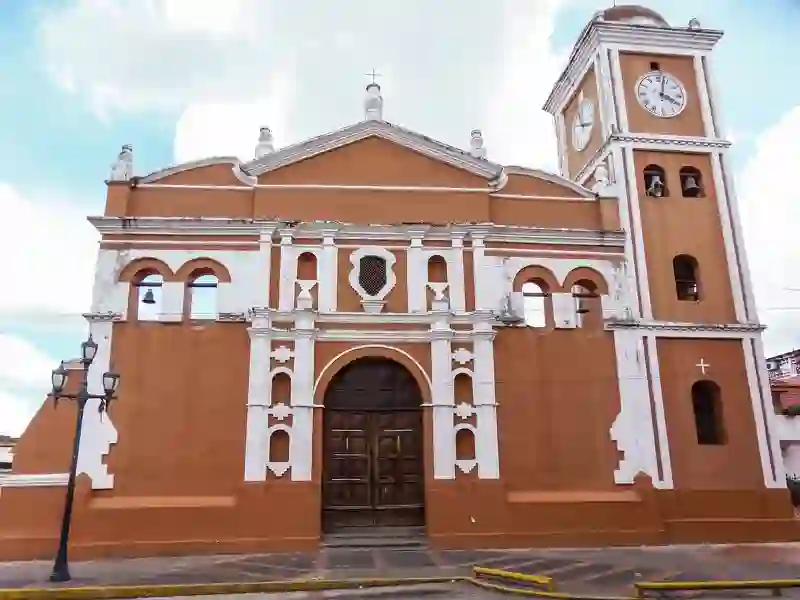
Barinas is a city located in west central Venezuela. It serves as the capital of both the Barinas Municipality and the State of Barinas. Founded in 1577, the city has a population of 873,962 as of 2018 and sits at an elevation of 187 meters.
Source: Wikipedia (CC BY-SA 4.0) and Wikidata, rewritten for RoadBreakMap.
Places
Listed with the most recorded facilities first. This is not a rating or a recommendation; always check before you travel.
- E/S La Redoma
- Opening hours listed
- E/S Lara
- Opening hours listed
- Public toilets
- Opening hours listed
- E/S El Paraparo
- E/S El Terminal
- Opening hours listed
- E/S El Venezolano
- Opening hours listed
- E/S Puente Páez
- Estación de Servicios Alto Barinas
- Opening hours listed
- Farmatodo
- Banco Exterior Alto Barinas
- E/S 55
- E/S Bella Vista
- E/S Don Samuel
- E/S El Parque
- E/S La Avenida
- E/S La Carolina
- E/S La Llanerita
- E/S La Marquesa
- E/S La Nona
- E/S Las Colinas
- E/S Los Andes
- E/S Los Pinos
- Área de Descanso
- Fuel
- Fuel
- Fuel
- Fuel
- Fuel
- Fuel
- Rest areas
- Rest areas
Nearby: Guanare Valera Mérida Ejido Araure Acarigua El Vigía Carora Barquisimeto Cabudare Ciudad Ojeda Yaritagua
Places, opening hours and charger details come from open data and may be incomplete, out of date or wrong. Never use your phone while driving. Disclaimer & terms