Road stops in Baruta, Miranda, Venezuela
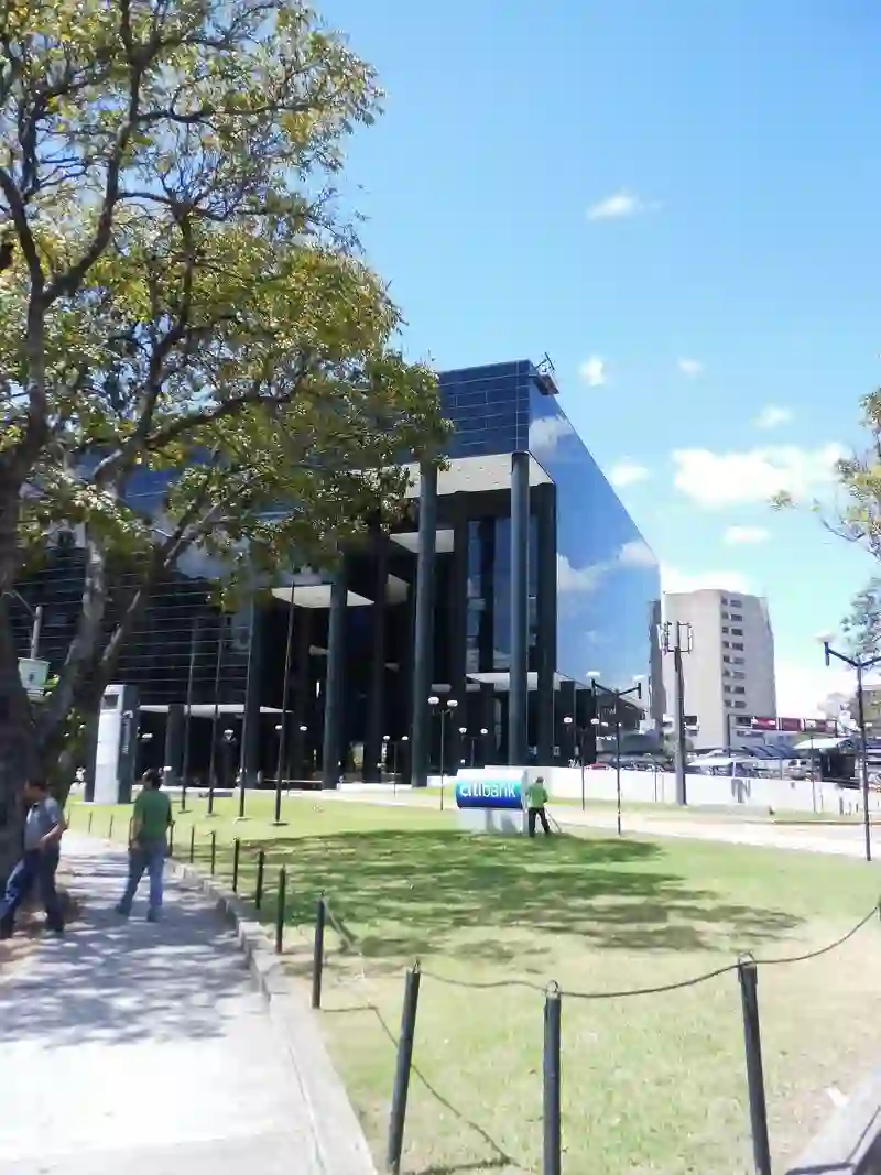
RoadBreakMap lists 42 mapped road stops in Baruta, Miranda, Venezuela: fuel, EV chargers, rest areas, drive-throughs and public toilets, where the data has them. Data: OpenStreetMap and Open Charge Map.
About Baruta
Baruta is a municipality located in the Miranda region of Venezuela. It is part of the Metropolitan District of Caracas and was established in 1620. With a population of approximately 240,755 as of 2011, Baruta serves as a second-level administrative division within the state of Miranda.
Source: Wikipedia (CC BY-SA 4.0) and Wikidata, rewritten for RoadBreakMap.
Places
Listed with the most recorded facilities first. This is not a rating or a recommendation; always check before you travel.
- E/S Fuerte Tiuna (INTEGRAL)
- Open 24 hours
- Wheelchair access
- E/S Km. 1
- Open 24 hours
- Wheelchair access
- E/S Tazón
- Open 24 hours
- Wheelchair access
- E/S Hipódromo
- Open 24 hours
- Wheelchair access
- E/S Las Maravillas (Integral)
- Opening hours listed
- Wheelchair access
- Estación de Servicios Fuerte Tiuna
- Open 24 hours
- Farmatodo
- Open 24 hours
- Wheelchair access
- Parador Hipódromo
- Open 24 hours
- Parador Tazón
- Open 24 hours
- E/S Baruta
- Opening hours listed
- Wheelchair access
- E/S Concresa
- Opening hours listed
- Wheelchair access
- E/S La Redoma
- Opening hours listed
- Wheelchair access
- E/S Lanciano 20/20 (SUB)
- Opening hours listed
- Wheelchair access
- Farmatodo
- Opening hours listed
- Wheelchair access
- Farmatodo
- Opening hours listed
- Wheelchair access
- Farmatodo
- Opening hours listed
- Wheelchair access
- McDonald's
- Opening hours listed
- Wheelchair access
- McDonald's
- Opening hours listed
- Wheelchair access
- McDonald's
- Opening hours listed
- Wheelchair access
- Punto de Recarga Estación de Servicio PDV La Ciudadela
- Opening hours listed
- Free
- EV charging
- E/S Coche
- Wheelchair access
- E/S El Peñón
- Wheelchair access
- E/S Intercomunal de El Valle
- Wheelchair access
- E/S La Ciudadela
- Wheelchair access
- E/S La Rinconada
- Wheelchair access
- E/S Las Esmeraldas
- Wheelchair access
- E/S Los Samanes
- Wheelchair access
- E/S Piedra Azul (SUB)
- Wheelchair access
- E/S San Antonio (SUB)
- Wheelchair access
- E/S San Luis
- Wheelchair access
- E/S Terrazas del Club Hípico
- Wheelchair access
- Estación de Servicios Las Maravillas
- Opening hours listed
- E/S Agua Fría
- Refugio Motorizado Las Gaviotas
- Public toilets
- Public toilets
- Public toilets
- Public toilets
- Public toilets
- Public toilets
- Public toilets
- Public toilets
Nearby: Caracas Petare Los Teques Catia La Mar La Victoria Guatire Cagua Maracay Palo Negro San Juan de los Morros Guacara Valencia
Places, opening hours and charger details come from open data and may be incomplete, out of date or wrong. Never use your phone while driving. Disclaimer & terms