Road stops in Hampton, Virginia, the United States
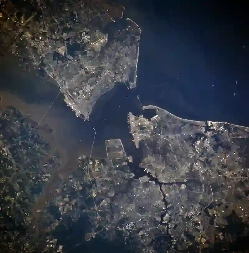
RoadBreakMap lists 114 mapped road stops in Hampton, Virginia, the United States: fuel, EV chargers, rest areas, drive-throughs and public toilets, where the data has them. Data: OpenStreetMap and Open Charge Map.
About Hampton
Hampton is an independent city located in Virginia. It has a population of over 137,000 and is part of the Hampton Roads metropolitan area. The city has historical roots dating back to 1610 and features various businesses, residential areas, and historical sites. Hampton is recognized for its waterfront and beaches, along with notable locations like Langley Air Force Base and NASA's Langley Research Center.
Source: Wikipedia (CC BY-SA 4.0) and Wikidata, rewritten for RoadBreakMap.
Fuel (51)Drive-throughs (40)EV chargers (14)
Nearby: Norfolk Newport News Chesapeake Virginia Beach Kilmarnock Suffolk Tasley Tappahannock Ahoskie Powells Point Great Mills Richmond
Places, opening hours and charger details come from open data and may be incomplete, out of date or wrong. Never use your phone while driving. Disclaimer & terms