Road stops in Escondido, California, the United States
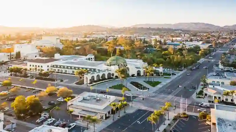
RoadBreakMap lists 241 mapped road stops in Escondido, California, the United States: fuel, EV chargers, rest areas, drive-throughs and public toilets, where the data has them. Data: OpenStreetMap and Open Charge Map.
About Escondido
Escondido is a city located in San Diego County, California. Founded in 1888, it is one of the oldest cities in the county and has a population of 151,038 as of 2020. The city is situated in the North County region and has an elevation of 197 meters.
Source: Wikipedia (CC BY-SA 4.0) and Wikidata, rewritten for RoadBreakMap.
EV chargers (95)Public toilets (69)Fuel (48)Drive-throughs (27)
Places
Listed with the most recorded facilities first. This is not a rating or a recommendation; always check before you travel.
- Tesla Supercharger
- Open 24 hours
- Fee applies
- Fast EV (250 kW)
- Tesla Supercharger
- Open 24 hours
- Fee applies
- Fast EV (50 kW)
- El Pollo Loco
- Opening hours listed
- Shell
- Open 24 hours
- Taco Bell
- Opening hours listed
- ALDI
- Opening hours listed
- Arby's
- Opening hours listed
- Burger King
- Opening hours listed
- Burger King
- Opening hours listed
- Burger King
- Opening hours listed
- CVS Pharmacy
- Opening hours listed
- Chase
- Costco Gasoline
- Freddy's
- Opening hours listed
- In-N-Out Burger
- Opening hours listed
- McDonald's
- Opening hours listed
- McDonald's
- Opening hours listed
- McDonald's
- Opening hours listed
- McDonald's
- Opening hours listed
- McDonald's
- Opening hours listed
- McDonald's
- Opening hours listed
- Shell
- Wendy's
- Opening hours listed
- Public toilets
- Wheelchair access
- Free
- Public toilets
- Wheelchair access
- Free
- Public toilets
- Wheelchair access
- Free
- Public toilets
- Wheelchair access
- Free
- Public toilets
- Wheelchair access
- 101 Chamomile Gln
- EV up to 3.7 kW
- 600 LA TERRAZA LA TERRAZA
- EV up to 3.7 kW
- 7-Eleven
- 7-Eleven
- 7-Eleven
- 7-Eleven Gas
- 76
- 76
- 76
- ANDEN SANMARCOS
- EV up to 3 kW
- ANDEN SANMARCOS ANDEN SAN STA1
- EV up to 3.7 kW
- Arco
- Arco
- Arco
- Arco
- Arco
- Arco
- Arco
- BLOCK C GARAGE
- EV up to 3 kW
- BLOCK C GARAGE BLOCK C #1
- EV up to 3.7 kW
- BLOCK C GARAGE BLOCK C #3
- EV up to 3.7 kW
- BLOCK C GARAGE EAST UNIT
- EV up to 3.7 kW
- BLOCK C GARAGE WEST UNIT
- EV up to 3.7 kW
- BMWOFESCONDIDO
- EV up to 3 kW
- Bear Valley Middle School
- EV up to 3.7 kW
- Bernardo Elementary
- EV up to 3.7 kW
- Best Western Escondido
- EV up to 40 kW
- Best Western Escondido
- EV up to 3.7 kW
- CSD CA SYNC
- EV up to 3.7 kW
- CSUSM-PS1
- EV up to 3 kW
- CSUSM-PS1 EV-2
- EV up to 3.7 kW
- CSUSM-PS1 EV-4
- EV up to 3.7 kW
Showing 60 of 241. See more on the map
Nearby: Vista Carlsbad San Diego Temecula Oceanside El Cajon Warner Springs Murrieta Chula Vista Borrego Springs Moreno Valley Palm Springs
Places, opening hours and charger details come from open data and may be incomplete, out of date or wrong. Never use your phone while driving. Disclaimer & terms