Road stops in El Cajon, California, the United States
RoadBreakMap lists 363 mapped road stops in El Cajon, California, the United States: fuel, EV chargers, rest areas, drive-throughs and public toilets, where the data has them. Data: OpenStreetMap and Open Charge Map.
About El Cajon
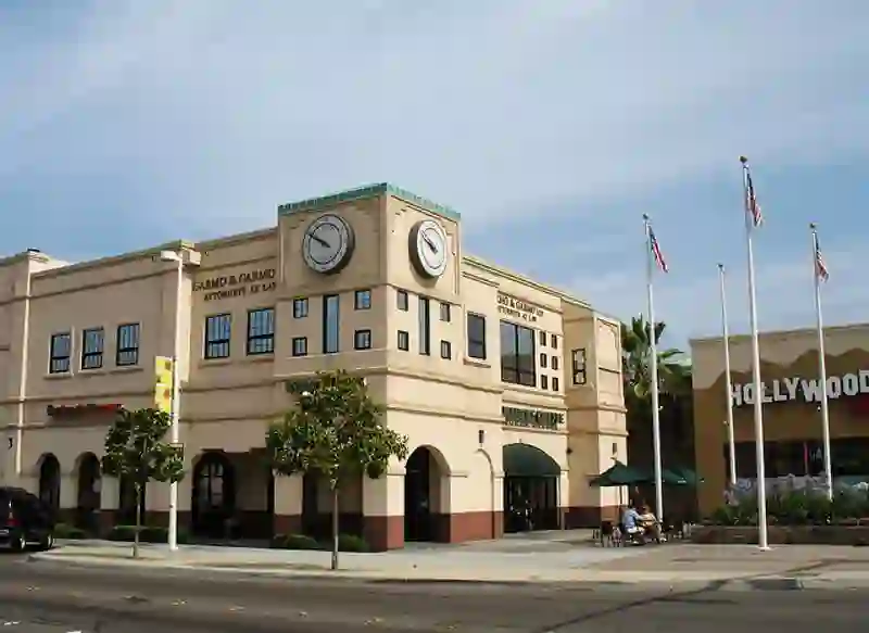
El Cajon is a city located in San Diego County, California. It is situated 17 miles east of downtown San Diego and has a population of over 106,000. The city gets its name from the box-like shape of the valley that surrounds it, which is reflected in its nickname, "the Box."
Source: Wikipedia (CC BY-SA 4.0) and Wikidata, rewritten for RoadBreakMap.
Public toilets (102)EV chargers (98)Drive-throughs (82)Fuel (80)
Places
Listed with the most recorded facilities first. This is not a rating or a recommendation; always check before you travel.
- Tesla Supercharger
- Open 24 hours
- Wheelchair access
- Fee applies
- Fast EV (50 kW)
- Tesla Supercharger
- Open 24 hours
- Fee applies
- Fast EV (50 kW)
- 7-Eleven
- Open 24 hours
- 7-Eleven
- Open 24 hours
- Buckman Springs Rest Area
- California Coast Credit Union
- Opening hours listed
- Electrify America
- Fee applies
- Fast EV (350 kW)
- McDonald's
- Open 24 hours
- Mobil
- Shell
- Public toilets
- Wheelchair access
- Baby change
- Free
- Arby's
- Opening hours listed
- Arby's
- Opening hours listed
- Bank of America
- Burger King
- Opening hours listed
- Burger King
- Opening hours listed
- Chase
- Opening hours listed
- Chase
- Opening hours listed
- Chase
- Opening hours listed
- Chase
- Opening hours listed
- Chevron
- Chevron
- Dunkin'
- Opening hours listed
- EVgo
- Fast EV (350 kW)
- El Compadre
- Open 24 hours
- In-N-Out Burger
- Opening hours listed
- Kwik Trip
- McDonald's
- Opening hours listed
- McDonald's
- Opening hours listed
- McDonald's
- Opening hours listed
- McDonald's
- Opening hours listed
- McDonald's
- Opening hours listed
- McDonald's
- Opening hours listed
- McDonald's
- Opening hours listed
- McDonald's
- Opening hours listed
- Navy Federal Credit Union
- Popeyes
- Opening hours listed
- Rally's
- Opening hours listed
- Shell
- Taco Bell
- Wheelchair access
- Taco Bell
- Opening hours listed
- Tesla Supercharger
- The Habit Burger Grill
- Opening hours listed
- Wells Fargo
- Opening hours listed
- Wendy's
- Opening hours listed
- Wendy's
- Opening hours listed
- 7-Eleven
- 7-Eleven
- 76
- 76
- 76
- 76
- 76
- 76
- 889 Arnele Ave
- Fast EV (50 kW)
- ARCO
- Arby's
- Arco
- Arco
- Arco
Showing 60 of 363. See more on the map
Nearby: Chula Vista San Diego Escondido Vista Carlsbad Warner Springs Borrego Springs Oceanside Temecula Murrieta Salton City Palm Desert
Places, opening hours and charger details come from open data and may be incomplete, out of date or wrong. Never use your phone while driving. Disclaimer & terms