Road stops in Makeni, Northern Province, Sierra Leone
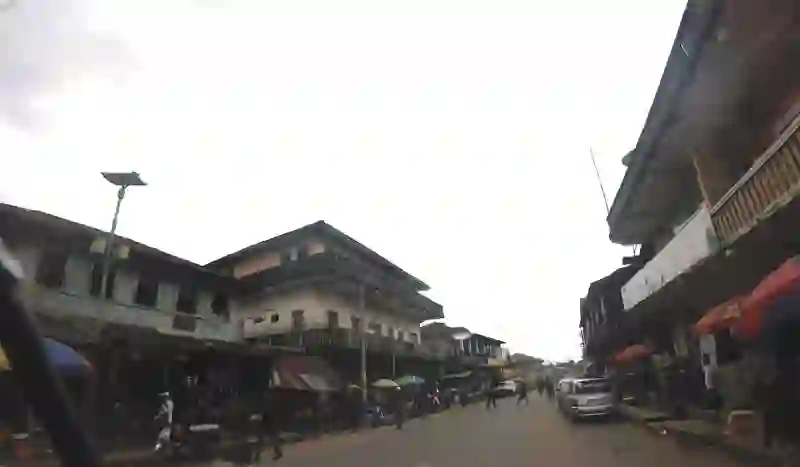
RoadBreakMap lists 42 mapped road stops in Makeni, Northern Province, Sierra Leone: fuel, EV chargers, rest areas, drive-throughs and public toilets, where the data has them. Data: OpenStreetMap and Open Charge Map.
About Makeni
Makeni is a place in Northern Province, Sierra Leone. Use the map and lists on this page to find fuel, EV charging, toilets, rest areas and food stops around town.
Facts: Wikidata.
Places
Listed with the most recorded facilities first. This is not a rating or a recommendation; always check before you travel.
- Kabala Highway
- Open 24 hours
- NP Filling Station
- NP Wusum Filling Station
- PZ Filling Station
- Open 24 hours
- Safecon Filling Station
- Turn Table filling station
- Open 24 hours
- Conex
- Total Filling Station
- Total Sierra Leone(Filling Station)
- Fuel
- Fuel
- ALharrkan Islamic School
- Ahmadiyya Muslim Secondary School
- Azzolini Highway filling station
- Benevolent Islamic Secondary
- Ernest Bai Koroma University CAMPUS
- Islaha Agriculture secondary school
- Kamathor fuel stations.
- Kulafai Rashideen Primary School
- Main Lorry Park
- Malador Associate(ma)
- NP
- Old Government Hospital
- Old Town Hall
- Our Lay Of Fatima school-fo
- Primary Health Care
- R.C. Primary School Kolo kolo
- Ropolon Community
- Sylvanus Market
- Teko Community Market
- WCSL Primary
- WCSL Primary&Secondary
- Wusum Field
- Fuel
- Fuel
- Fuel
- Public toilets
- Public toilets
- Public toilets
- Public toilets
- Public toilets
- Public toilets
Nearby: Mile 91 Bo Kambia Freetown Kenema Kailahun
Places, opening hours and charger details come from open data and may be incomplete, out of date or wrong. Never use your phone while driving. Disclaimer & terms