Road stops in Freetown, Western Area, Sierra Leone
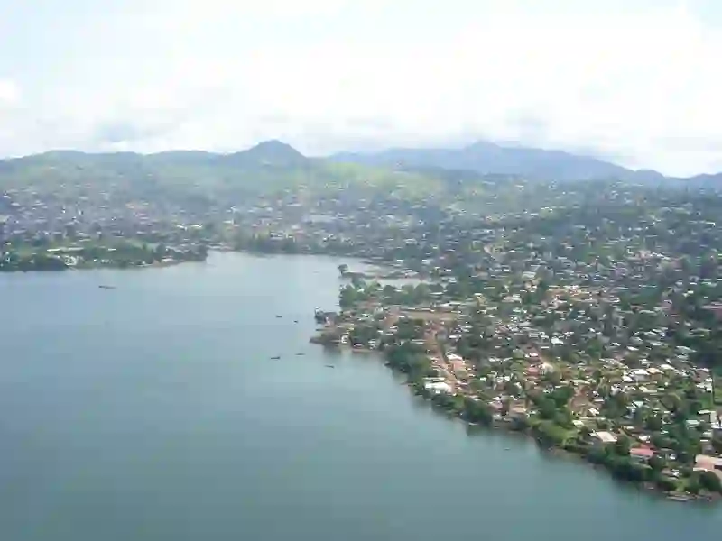
RoadBreakMap lists 210 mapped road stops in Freetown, Western Area, Sierra Leone: fuel, EV chargers, rest areas, drive-throughs and public toilets, where the data has them. Data: OpenStreetMap and Open Charge Map.
About Freetown
Freetown is the capital and largest city of Sierra Leone, situated in the Western Area by the Atlantic Ocean and Sierra Leone River. It serves as a major port city and is an important center for the country's economy, culture, education, and politics. The city has a diverse population, with various ethnic and religious groups represented. Freetown was founded in 1792 as a settlement for free and freed African Americans and their descendants, known as the Creole people. The Krio language is the most commonly spoken language here, reflecting the city's rich cultural tapestry. Freetown is governed by an elected city council and mayor, ensuring local representation and administration.
Source: Wikipedia (CC BY-SA 4.0) and Wikidata, rewritten for RoadBreakMap.
Places
Listed with the most recorded facilities first. This is not a rating or a recommendation; always check before you travel.
- Conex Fuel Station
- Opening hours listed
- Conex
- Conex
- Conex Fuel Station
- Leonco
- NP
- Opening hours listed
- NP Grammar School Jnx
- Conex
- Conex
- Leonco
- NP
- NP
- NP
- Rotifunk Filling Station
- Total Fuel Station- Jomo Kenyatta/Pademba Road
- Drive-throughs
- Opening hours listed
- Fuel
- Fuel
- Fuel
- Fuel
- Fuel
- Fuel
- Fuel
- Fuel
- Fuel
- Fuel
- Public toilets
- Public toilets
- Airport
- Conex
- Conex
- Conex
- FUEL STATION MAIN MOTOR ROAD
- Leonco
- Leonco
- Malador
- Malador
- NP
- NP
- NP
- NP FUEL STATION
- NP Filling Station
- NP Filling Station
- NP Filling Station
- NP Fuel Station
- National Petroleum Fuels Station
- Np
- Pips Oyidoh's Gas Station
- Safecon Filling Station
- Tesco
- Tintafor Fuelling Station
- Tombodu Gas Station
- ma
- Fuel
- Fuel
- Fuel
- Fuel
- Fuel
- Fuel
- Fuel
Showing 60 of 210. See more on the map
Nearby: Kambia Mile 91 Makeni Bo Kenema Kailahun
Places, opening hours and charger details come from open data and may be incomplete, out of date or wrong. Never use your phone while driving. Disclaimer & terms