Road stops in Guarulhos, Sao Paulo, Brazil
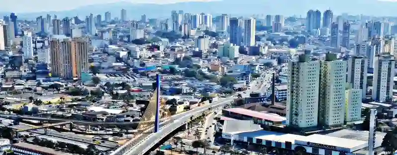
RoadBreakMap lists 42 mapped road stops in Guarulhos, Sao Paulo, Brazil: fuel, EV chargers, rest areas, drive-throughs and public toilets, where the data has them. Data: OpenStreetMap and Open Charge Map.
About Guarulhos
Guarulhos is a city located in the Sao Paulo region of Brazil. It is known for its railway station, Guarulhos-CECAP, which is part of the CPTM Line 13-Jade. The station, established in 2018, is situated by Rodovia Hélio Smidt and near Parque Cecap, providing a connection to the Guarulhos Road Terminal. This makes it an important transportation hub for the area.
Source: Wikipedia (CC BY-SA 4.0) and Wikidata, rewritten for RoadBreakMap.
Places
Listed with the most recorded facilities first. This is not a rating or a recommendation; always check before you travel.
- Posto BR
- Open 24 hours
- Boxter
- Shell
- Public toilets
- Wheelchair access
- Free
- Public toilets
- Wheelchair access
- Free
- Public toilets
- Wheelchair access
- Free
- Public toilets
- Wheelchair access
- Free
- Public toilets
- Wheelchair access
- Free
- BR
- Ipiranga
- Ipiranga
- Ipiranga
- Posto Rede Vip
- Shell
- ale
- Public toilets
- Free
- Public toilets
- Free
- Public toilets
- Free
- Public toilets
- Free
- Public toilets
- Free
- Public toilets
- Free
- Public toilets
- Free
- Public toilets
- Free
- Public toilets
- Free
- Public toilets
- Free
- Boxter
- GT Esperança
- Posto do Elenco
- Rede 900
- Rede 900
- Fuel
- Rest areas
- Rest areas
- Rest areas
- Rest areas
- Rest areas
- Public toilets
- Public toilets
- Public toilets
- Public toilets
- Public toilets
- Public toilets
Nearby: Ermelino Matarazzo Jardim Presidente Dutra Cangaiba Jardim Helena Vila Jacui Vila Curuca Artur Alvim Vila Medeiros Itaquera Vila Matilde Itaim Paulista Guaianases
Places, opening hours and charger details come from open data and may be incomplete, out of date or wrong. Never use your phone while driving. Disclaimer & terms