Road stops in Artur Alvim, Sao Paulo, Brazil
RoadBreakMap lists 26 mapped road stops in Artur Alvim, Sao Paulo, Brazil: fuel, EV chargers, rest areas, drive-throughs and public toilets, where the data has them. Data: OpenStreetMap and Open Charge Map.
About Artur Alvim
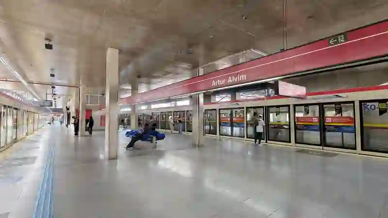
Artur Alvim is a district in São Paulo, situated in the eastern suburban area of the city. It is part of the Subprefecture of Penha and features a mix of residential areas and local businesses. The district has a population of over 105,000 and is served by the Artur Alvim metro station, making it accessible for residents and visitors alike.
Source: Wikipedia (CC BY-SA 4.0) and Wikidata, rewritten for RoadBreakMap.
Places
Listed with the most recorded facilities first. This is not a rating or a recommendation; always check before you travel.
- BR
- BR
- Ipiranga
- Ipiranga
- Shell
- Shell
- ipiranga
- Public toilets
- Wheelchair access
- Nacional
- Posto Corinthians
- Fuel
- Fuel
- Fuel
- Fuel
- Rest areas
- Rest areas
- Rest areas
- Rest areas
- Rest areas
- Rest areas
- Rest areas
- Rest areas
- Rest areas
- Rest areas
- Rest areas
- Rest areas
Nearby: Cidade Lider Itaquera Vila Jacui Vila Matilde Ermelino Matarazzo Vila Curuca Cangaiba Guaianases Sapopemba Iguatemi Sao Lucas São Mateus
Places, opening hours and charger details come from open data and may be incomplete, out of date or wrong. Never use your phone while driving. Disclaimer & terms