Road stops in Zābol, Sistan and Baluchestan, Iran
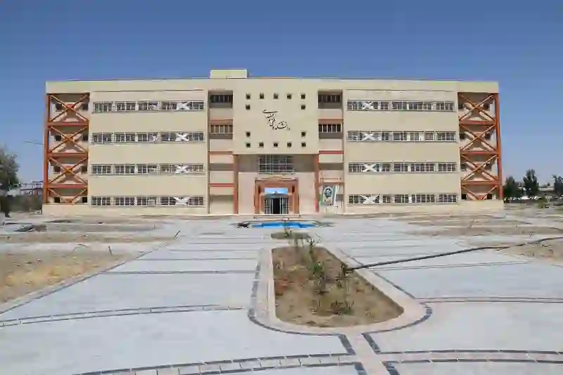
RoadBreakMap lists 17 mapped road stops in Zābol, Sistan and Baluchestan, Iran: fuel, EV chargers, rest areas, drive-throughs and public toilets, where the data has them. Data: OpenStreetMap and Open Charge Map.
Places
Listed with the most recorded facilities first. This is not a rating or a recommendation; always check before you travel.
- جایگاه CNG
- پمپ بنزین
- پمپ بنزین
- پمپ بنزین
- پمپ بنزین امام حسین
- پمپ بنزین تمندانی
- پمپ بنزین سرایانی
- گازوئیل
- Fuel
- Fuel
- Fuel
- Fuel
- Fuel
- Rest areas
- Rest areas
- Public toilets
- Public toilets
Nearby: Nehbandān Zahedan Khāsh Bīrjand Baravāt Qā’en Sarāvān Bam Khvāf Iranshahr Torbat-e Jām Jīroft
Places, opening hours and charger details come from open data and may be incomplete, out of date or wrong. Never use your phone while driving. Penafian & terma