Road stops in Bourges, Centre-Val de Loire, France
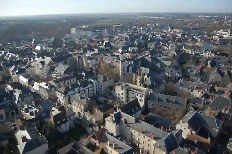
RoadBreakMap lists 173 mapped road stops in Bourges, Centre-Val de Loire, France: fuel, EV chargers, rest areas, drive-throughs and public toilets, where the data has them. Data: OpenStreetMap and Open Charge Map.
EV chargers (86)Fuel (36)Public toilets (36)Diesel (29)
Places
Listed with the most recorded facilities first. This is not a rating or a recommendation; always check before you travel.
- Eni
- Open 24 hours
- Relais Total des Prés-le-Roi
- Open 24 hours
- Avia XPress
- Open 24 hours
- Accesso per disabili
- Esso
- Open 24 hours
- Intermarché
- Open 24 hours
- Intermarché Super
- Open 24 hours
- Relais Total Bourges Camping
- Open 24 hours
- Station Carrefour
- Open 24 hours
- Bourges Supercharger
- Open 24 hours
- Fee applies
- Fast EV (150 kW)
- Carrefour Market
- Open 24 hours
- Esso
- Open 24 hours
- Accesso per disabili
- Intermarché Contact
- Open 24 hours
- Super U
- Open 24 hours
- Super U
- Open 24 hours
- Supercharger Bourges Le Vallon
- Open 24 hours
- Fee applies
- Fast EV (250 kW)
- Total Access
- Open 24 hours
- i-charging
- Open 24 hours
- Fee applies
- Fast EV (200 kW)
- Public toilets
- Open 24 hours
- Accesso per disabili
- Free
- Allogny
- Open 24 hours
- Fee applies
- EV up to 18 kW
- Avia XPress
- Open 24 hours
- Avord - Parking des Alouettes
- Open 24 hours
- Fee applies
- Ricarica EV
- Avord - Place de la Salle des Fêtes
- Open 24 hours
- Fee applies
- EV up to 18 kW
- Baugy
- Open 24 hours
- Fee applies
- EV up to 18 kW
- Borne de charge rapide IECharge
- Open 24 hours
- Fee applies
- Ricarica EV
- Borne de recharge Lidl Mehun
- Open 24 hours
- Fee applies
- Ricarica EV
- Carrefour
- Open 24 hours
- Carrefour
- Open 24 hours
- Carrefour
- Open 24 hours
- Carrefour Market
- Open 24 hours
- Carrefour Market
- Open 24 hours
- Charost
- Open 24 hours
- Fee applies
- Ricarica EV
- DBT
- Open 24 hours
- Fee applies
- Ricarica EV
- Dun sur Auron
- Open 24 hours
- Fee applies
- EV up to 18 kW
- E.Leclerc
- Open 24 hours
- Engie
- Open 24 hours
- EvZen
- Open 24 hours
- Fee applies
- Ricarica EV
- EvZen Baugy
- Open 24 hours
- Fee applies
- Ricarica EV
- Farges-en-Septaine
- Open 24 hours
- Fee applies
- EV up to 18 kW
- Fussy
- Open 24 hours
- Fee applies
- EV up to 18 kW
- Intermarché
- Open 24 hours
- Intermarché
- Open 24 hours
- Menetou-Salon
- Open 24 hours
- Fee applies
- EV up to 18 kW
- Quick
- Opening hours listed
- Accesso per disabili
- EV chargers
- Open 24 hours
- Fee applies
- EV up to 18 kW
- EV chargers
- Open 24 hours
- Fee applies
- EV up to 18 kW
- EV chargers
- Open 24 hours
- Fee applies
- Ricarica EV
- EV chargers
- Open 24 hours
- Fee applies
- Ricarica EV
- EV chargers
- Open 24 hours
- Fee applies
- Ricarica EV
- EV chargers
- Open 24 hours
- Fee applies
- Ricarica EV
- EV chargers
- Open 24 hours
- Fee applies
- Ricarica EV
- EV chargers
- Open 24 hours
- Fee applies
- EV up to 18 kW
- EV chargers
- Open 24 hours
- Fee applies
- Fast EV (150 kW)
- EV chargers
- Open 24 hours
- Fee applies
- Fast EV (150 kW)
- Public toilets
- Open 24 hours
- Accesso per disabili
- Fee applies
- Public toilets
- Open 24 hours
- Accesso per disabili
- Free
- Carrefour
- Carrefour
- Intermarché
- Ionity Bourges Sainte-Thorette
- Fee applies
- Fast EV (50 kW)
- Powerdot
- Fee applies
- Fast EV (200 kW)
Showing 60 of 173. See more on the map
Nearby: Saint-Amand-Montrond Vierzon Saint-Satur Cosne-Cours-sur-Loire Gien La Châtre Montluçon Nevers Châteauroux Romorantin-Lanthenay Orléans Guéret
Places, opening hours and charger details come from open data and may be incomplete, out of date or wrong. Never use your phone while driving. Esclusione di responsabilità e termini