Road stops in Kroonstad, South Africa
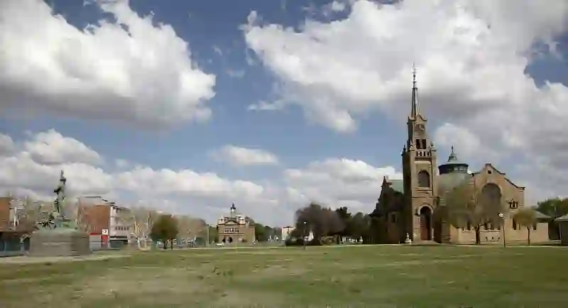
RoadBreakMap lists 16 mapped road stops in Kroonstad, South Africa: fuel, EV chargers, rest areas, drive-throughs and public toilets, where the data has them. Data: OpenStreetMap and Open Charge Map.
About Kroonstad
Kroonstad is a town located in the Free State of South Africa, positioned along the N1 highway. It serves as an important railway junction on the main line connecting Cape Town and Johannesburg. Founded in 1854, Kroonstad is recognized as the fourth largest town in the Free State and the second-largest commercial and urban center in the Northern Free State. The town has a diverse population, with a mix of Black African, White, Coloured, and Indian/Asian residents. Afrikaans is the most commonly spoken language, followed by Sotho and English. When including the nearby township of Maokeng, the total population of the Kroonstad area is significantly larger.
Source: Wikipedia (CC BY-SA 4.0) and Wikidata, rewritten for RoadBreakMap.
Places
Listed with the most recorded facilities first. This is not a rating or a recommendation; always check before you travel.
- Shell
- Opening hours listed
- Wheelchair access
- Sasol
- Opening hours listed
- Sasol
- Shell
- Opening hours listed
- Wheelchair access
- Shell
- Opening hours listed
- Shell
- Astron Energy
- Opening hours listed
- Astron Energy
- Opening hours listed
- Caltex
- TotalEnergies
- Caltex
- Engen
- Shell Ultra City Kroonstad
- bp
- AC at Sasol Reitz - AC1 (Kroonstad)
- EV up to 22 kW
- Public toilets
Nearby: Welkom Virginia Orkney Sasolburg Potchefstroom Klerksdorp Vanderbijlpark Bethlehem Vereeniging Carletonville Evaton Westonaria
Places, opening hours and charger details come from open data and may be incomplete, out of date or wrong. Never use your phone while driving. Disclaimer & terms