Road stops in Hermanus, South Africa
RoadBreakMap lists 16 mapped road stops in Hermanus, South Africa: fuel, EV chargers, rest areas, drive-throughs and public toilets, where the data has them. Data: OpenStreetMap and Open Charge Map.
About Hermanus
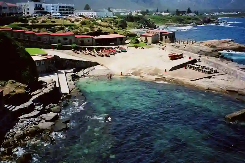
Hermanus is a town located in the Western Cape of South Africa, within the Overstrand Local Municipality. Established in 1891, it sits at an elevation of 27 meters above sea level. Originally named Hermanuspietersfontein, the name was shortened in 1902 for postal convenience. This large town is situated on the southern coast and is well-known for its Southern Right whale watching opportunities during the winter and spring months. It has become a favored spot for holidaymakers.
Source: Wikipedia (CC BY-SA 4.0) and Wikidata, rewritten for RoadBreakMap.
Places
Listed with the most recorded facilities first. This is not a rating or a recommendation; always check before you travel.
- Shell
- Opening hours listed
- Wheelchair access
- Astron Energy
- Opening hours listed
- Eastcliff Service Station
- Opening hours listed
- TotalEnergies
- Public toilets
- Wheelchair access
- Free
- Checkers Hermanus Station Mall
- EV up to 22 kW
- Public restrooms and changing rooms
- Wheelchair access
- Public toilets
- Wheelchair access
- Public toilets
- Loo with a view
- Public toilets
- Public toilets
- Public toilets
- Public toilets
- Public toilets
- Public toilets
Nearby: Gansbaai Caledon Somerset West Bredasdorp Paarl Cape Town Montagu Swellendam Touws River Saldanha Riversdale Vredenburg
Places, opening hours and charger details come from open data and may be incomplete, out of date or wrong. Never use your phone while driving. Disclaimer & terms