Road stops in Vincennes, Indiana, the United States
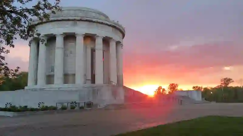
RoadBreakMap lists 58 mapped road stops in Vincennes, Indiana, the United States: fuel, EV chargers, rest areas, drive-throughs and public toilets, where the data has them. Data: OpenStreetMap and Open Charge Map.
About Vincennes
Vincennes is a city in Indiana, serving as the county seat of Knox County. It is situated on the lower Wabash River, roughly in between Evansville and Terre Haute. Founded in 1732 by French fur traders, Vincennes is known as the oldest continuously inhabited European settlement in Indiana. It has a population of 16,759 according to the 2020 census.
Source: Wikipedia (CC BY-SA 4.0) and Wikidata, rewritten for RoadBreakMap.
Places
Listed with the most recorded facilities first. This is not a rating or a recommendation; always check before you travel.
- Culver's
- Opening hours listed
- Shell
- Wheelchair access
- Subway
- Opening hours listed
- Wheelchair access
- Arby's
- Opening hours listed
- Captain D's
- Wheelchair access
- Casey's
- Caseys
- Huck's Food & Fuel
- Wheelchair access
- Long John Silver's
- Wheelchair access
- Mach 1
- Marathon
- McDonald's
- Opening hours listed
- Wendy's
- Opening hours listed
- Wendy's
- Opening hours listed
- CVS Pharmacy
- Casey's General Store
- Circle K
- Fazoli's
- Fifth Third Bank
- First Financial Bank
- First Financial Bank
- German American
- Hardee's
- Huck's Food & Fuel
- Huck's Food and Fuel
- KFC
- MEMERING MOTORPLEX INC
- Fast EV (50 kW)
- Marathon
- Marathon
- Marathon
- McDonald's
- Old National Bank
- Regions Bank
- Subway
- Taco Bell
- UEBELHOR AND SONS CADILLAC VINCENNES
- Fast EV (50 kW)
- Drive-throughs
- EV chargers
- Free
- EV up to 3.7 kW
- Evansville Teachers Federal Credit Union
- First Vincennes Savings Bank
- First Vincennes Savings Bank
- German American Bank
- Memering Motorplex
- EV up to 3.7 kW
- Fuel
- Fuel
- Fuel
- Fuel
- Fuel
- Fuel
- Fuel
- Fuel
- Fuel
- Fuel
- Public toilets
- Public toilets
- Public toilets
- Public toilets
- Public toilets
Nearby: Sullivan Linton Olney Evansville Jasper Terre Haute French Lick Charleston Bedford Mitchell Tell City Paoli
Places, opening hours and charger details come from open data and may be incomplete, out of date or wrong. Never use your phone while driving. Disclaimer & terms