Road stops in Rialto, California, the United States
RoadBreakMap lists 84 mapped road stops in Rialto, California, the United States: fuel, EV chargers, rest areas, drive-throughs and public toilets, where the data has them. Data: OpenStreetMap and Open Charge Map.
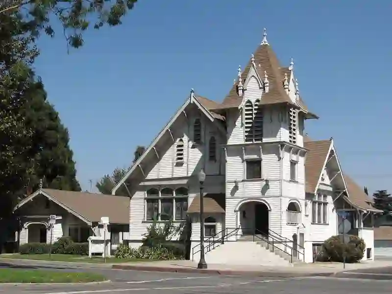
About Rialto
Rialto is a city located in San Bernardino County, California. It is part of the Inland Empire region and is situated 56 miles east of Los Angeles. Founded in 1911, the city has a population of 104,026 as of 2020. Rialto is near several major routes, including Interstate 15 and Interstate 10, and is home to major distribution centers, including Staples Inc. and Amazon.
Source: Wikipedia (CC BY-SA 4.0) and Wikidata, rewritten for RoadBreakMap.
Fuel (26)EV chargers (23)Drive-throughs (22)Public toilets (13)
Places
Listed with the most recorded facilities first. This is not a rating or a recommendation; always check before you travel.
- chargepoint
- Fee applies
- EV up to 3 kW
- Arby's
- Opening hours listed
- Burger King
- Opening hours listed
- Burger King
- Opening hours listed
- Burger King
- Opening hours listed
- Carl's Jr.
- Opening hours listed
- ChargePoint
- EV up to 3.7 kW
- ChargePoint
- EV up to 3.7 kW
- Chick-fil-A
- Opening hours listed
- Flyers
- Food 4 Less
- McDonald's
- Opening hours listed
- McDonald's
- Opening hours listed
- McDonald's
- Opening hours listed
- McDonald's
- Opening hours listed
- McDonald's
- Opening hours listed
- Popeyes
- Opening hours listed
- SC Fuels - Bloomington
- Shell
- Shell
- The Habit Burger Grill
- Opening hours listed
- Wendy's
- Opening hours listed
- eVgo
- Fast EV (50 kW)
- 7-Eleven
- 7-Eleven
- 7-Eleven
- Alta Vista Credit Union
- Arco
- Arco
- Arco
- Arco
- Arrowhead Reginol Medical Center
- EV up to 3.7 kW
- Arrowhead Regional Medical Ctr
- EV up to 3.7 kW
- Ayres Hotel Rialto
- EV up to 3.7 kW
- CITY OF RIALTO FITNESS CENTER
- EV up to 3.7 kW
- CITY OF RIALTO METRO PARKING 1
- EV up to 3.7 kW
- Carl's Jr.
- Carl's Jr.
- Chevron
- Chevron
- Chevron
- Chevron
- Collectron, San Bernandino Project
- EV up to 3.7 kW
- Days Inn by Wyndham Fontana
- EV up to 3.7 kW
- EVSP WALGREENS
- EV up to 3 kW
- EVgo
- Fast EV (350 kW)
- Ev
- EV up to 12 kW
- Food 4 Less
- In-N-Out Burger
- Jack in the Box
- Jack in the Box
- LEN RIVER RANCH LENNAR STN 1
- EV up to 3.7 kW
- Mobil
- Panera
- Fast EV (350 kW)
- Pemex
- Rialto CNG Serivce
- Rialto Marketplace
- Fast EV (50 kW)
- Rialto Village
- Fast EV (50 kW)
- Shell
- Shell
Showing 60 of 84. See more on the map
Nearby: Fontana Riverside Rancho Cucamonga San Bernardino Ontario Corona Pomona Moreno Valley Victorville West Covina Murrieta Orange
Places, opening hours and charger details come from open data and may be incomplete, out of date or wrong. Never use your phone while driving. Disclaimer & terms