Road stops in Nogales, Arizona, the United States
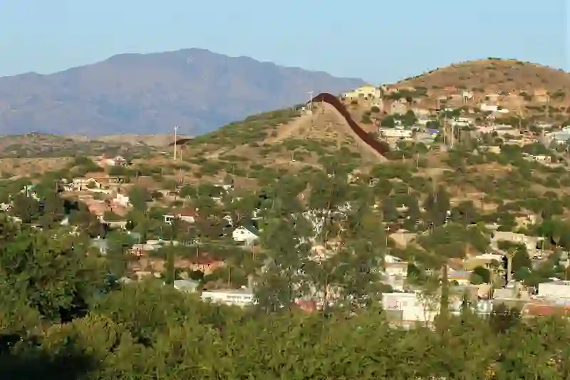
RoadBreakMap lists 38 mapped road stops in Nogales, Arizona, the United States: fuel, EV chargers, rest areas, drive-throughs and public toilets, where the data has them. Data: OpenStreetMap and Open Charge Map.
About Nogales
Nogales is a city in Santa Cruz County, Arizona, situated on the U.S.-Mexico border. It serves as the county seat and has a population of about 19,770. Founded in 1893, Nogales is known for its significant role in international trade, with several major ports of entry facilitating the movement of goods between the United States and Mexico. The city is named after the black walnut trees that once thrived in the area, and it remains a key point in the CANAMEX Corridor, connecting North America.
Source: Wikipedia (CC BY-SA 4.0) and Wikidata, rewritten for RoadBreakMap.
Places
Listed with the most recorded facilities first. This is not a rating or a recommendation; always check before you travel.
- Carl's Jr.
- Opening hours listed
- McDonald's
- Open 24 hours
- McDonald's
- Open 24 hours
- Shell
- Open 24 hours
- Burger King
- Opening hours listed
- Chase
- Opening hours listed
- Jack in the Box
- Opening hours listed
- McDonald's
- Opening hours listed
- Pilot Travel Center Rio Rico
- Open 24 hours
- Fast EV (350 kW)
- Wells Fargo
- Opening hours listed
- 200 N Mariposa Rd
- EV up to 3.7 kW
- 76
- A7 Business Services - Tesla Destination
- EV up to 3.7 kW
- Chevron
- Flying J 279
- Fast EV (50 kW)
- Love's Travel Stop
- Pemex
- Pilot
- Pilot Travel Center
- Shell
- Special K
- Walgreens
- Public toilets
- Fastrip
- Gas N Go Market
- Horne Ford of Nogales
- EV up to 3.7 kW
- Royal Road Market
- Fuel
- Fuel
- Fuel
- Fuel
- Fuel
- Fuel
- Public toilets
- Public toilets
- Public toilets
- Public toilets
- Public toilets
Nearby: Sierra Vista Tucson Douglas Willcox Eloy Thatcher Globe Gilbert Chandler Mesa Tempe Roosevelt
Places, opening hours and charger details come from open data and may be incomplete, out of date or wrong. Never use your phone while driving. Disclaimer & terms