Road stops in Newark, Delaware, the United States
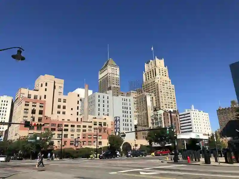
RoadBreakMap lists 22 mapped road stops in Newark, Delaware, the United States: fuel, EV chargers, rest areas, drive-throughs and public toilets, where the data has them. Data: OpenStreetMap and Open Charge Map.
About Newark
Newark is a city located in New Castle County, Delaware, in the United States. It is home to the University of Delaware and is situated 8 miles west-southwest of Wilmington and 28 miles southwest of Philadelphia. According to the 2020 census, Newark has a population of 30,601. Founded in 1694, it is part of the Philadelphia metropolitan area.
Source: Wikipedia (CC BY-SA 4.0) and Wikidata, rewritten for RoadBreakMap.
Nearby: Elkton West Chester Pottstown Middletown Reading Lancaster Philadelphia Dover Lebanon York Baltimore Allentown
Places, opening hours and charger details come from open data and may be incomplete, out of date or wrong. Never use your phone while driving. Disclaimer & terms