Road stops in Macomb, Illinois, the United States
RoadBreakMap lists 36 mapped road stops in Macomb, Illinois, the United States: fuel, EV chargers, rest areas, drive-throughs and public toilets, where the data has them. Data: OpenStreetMap and Open Charge Map.
About Macomb
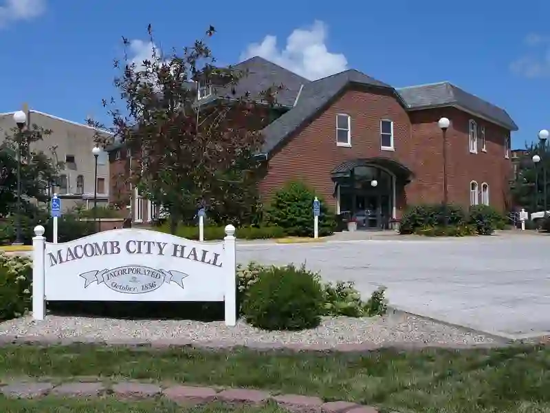
Macomb is a city in Illinois and serves as the county seat of McDonough County. It was established in 1830 and is located in western Illinois, approximately 75 miles southwest of Peoria. The city has a population of 15,051 according to the 2020 census and is home to Western Illinois University.
Source: Wikipedia (CC BY-SA 4.0) and Wikidata, rewritten for RoadBreakMap.
Places
Listed with the most recorded facilities first. This is not a rating or a recommendation; always check before you travel.
- First State Bank ATM
- Open 24 hours
- Ayerco
- Open 24 hours
- Wheelchair access
- Casey's General Store
- Open 24 hours
- Casey's General Store
- Open 24 hours
- BP
- Opening hours listed
- Burger King
- Opening hours listed
- Dunkin'
- Opening hours listed
- First State Bank
- Opening hours listed
- McDonald's
- Opening hours listed
- Subway
- Opening hours listed
- United Community Bank
- Opening hours listed
- Wendy's
- Opening hours listed
- EV chargers
- Free
- EV up to 3.7 kW
- Arby's
- BP
- Casey's General Store
- Circle K
- Citizens Bank
- First Bankers Trust
- Opening hours listed
- Hardee's
- Hy-Vee Gas
- McDonald's
- United Community Bank
- Drive-throughs
- Opening hours listed
- Public toilets
- Ayerco
- First Presbyterian Church of Macomb
- EV charging
- Haymakers
- Marine Bank
- Fuel
- Fuel
- Public toilets
- Public toilets
- Public toilets
- Public toilets
- Public toilets
Nearby: Galesburg Burlington Keokuk Quincy Mount Pleasant Davenport Hannibal Peoria Springfield Iowa City Godfrey Fairfield
Places, opening hours and charger details come from open data and may be incomplete, out of date or wrong. Never use your phone while driving. Disclaimer & terms