Road stops in Laramie, Wyoming, the United States
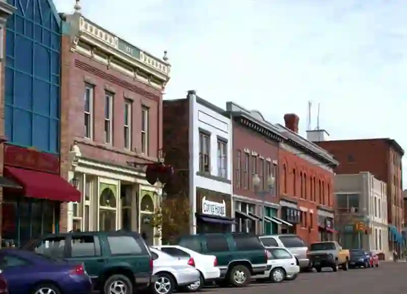
RoadBreakMap lists 70 mapped road stops in Laramie, Wyoming, the United States: fuel, EV chargers, rest areas, drive-throughs and public toilets, where the data has them. Data: OpenStreetMap and Open Charge Map.
About Laramie
Laramie is a city located in Albany County, Wyoming, and serves as the county seat. It is situated along the Laramie River and is known for its high elevation. The city has a population of over 31,000 and is home to the University of Wyoming. Laramie was established in 1868, coinciding with the arrival of the Union Pacific Railroad. The area offers various outdoor activities, attracting many enthusiasts. The city lies in the Laramie Valley, bordered by the Snowy Range and the Laramie Range.
Source: Wikipedia (CC BY-SA 4.0) and Wikidata, rewritten for RoadBreakMap.
Public toilets (28)Fuel (20)EV chargers (10)
Places
Listed with the most recorded facilities first. This is not a rating or a recommendation; always check before you travel.
- Summit Rest Area and Visitor Center
- Open 24 hours
- Tesla Supercharger
- Open 24 hours
- Fee applies
- Fast EV (150 kW)
- Arby's
- Opening hours listed
- Laramie River - Monolith
- Free
- McDonald's
- Opening hours listed
- McDonald's
- Opening hours listed
- Safeway Fuel Station
- Taco Bell
- Opening hours listed
- Wendy's
- Opening hours listed
- Wendy's
- Opening hours listed
- Public toilets
- Free
- BESTWESTERNLAR STATION 1
- EV up to 3.7 kW
- Campground Restroom
- Carl's Jr.
- City of Laramie Public Parking, 103 E University Ave.
- EV up to 3.7 kW
- Conoco
- FIRE STATION 3 COL FS3 GW
- EV up to 3.7 kW
- Fairfield Inn & Suites by Marriott - Tesla Supercharger
- Fast EV (50 kW)
- Gasamat
- LARAMIE AUTO CENTER
- Fast EV (50 kW)
- Laramie Range
- EV up to 3.7 kW
- Love's
- Love's Travel Stop
- Maverik
- Petro Laramie
- Petro Stopping Centers
- Phillips 66
- Phillips 66
- Pilot Travel Center
- Shell
- Shell
- Sinclair
- Trailhead Restrooms
- Fuel
- Fuel
- Public toilets
- Free
- Public toilets
- Wheelchair access
- Public toilets
- Wheelchair access
- Public toilets
- Free
- Public toilets
- Free
- Laramie Fitness
- EV up to 3.7 kW
- Laramie GM Auto Center
- Fast EV (50 kW)
- Tumbleweed Express
- UniWyo Federal Credit Union
- University of Wyoming
- EV up to 3.7 kW
- Fuel
- Fuel
- Fuel
- Fuel
- Fuel
- Fuel
- Public toilets
- Public toilets
- Public toilets
- Public toilets
- Public toilets
- Public toilets
- Public toilets
- Public toilets
- Public toilets
Showing 60 of 70. See more on the map
Nearby: Cheyenne Fort Collins Wheatland Boulder Greeley Guernsey Glendo Clark Douglas Steamboat Springs Westminster Arvada
Places, opening hours and charger details come from open data and may be incomplete, out of date or wrong. Never use your phone while driving. Disclaimer & terms