Road stops in Kettle Falls, Washington, the United States
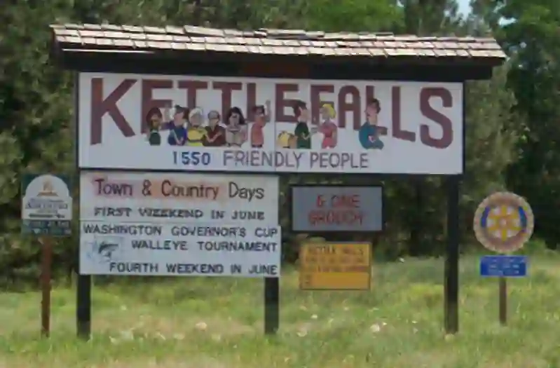
RoadBreakMap lists 18 mapped road stops in Kettle Falls, Washington, the United States: fuel, EV chargers, rest areas, drive-throughs and public toilets, where the data has them. Data: OpenStreetMap and Open Charge Map.
About Kettle Falls
Kettle Falls is a city located in Stevens County, Washington, United States. It was established in 1940 and has a population of 1,636 as of the 2020 census. The city is situated on the Colville River, just upstream from where it joins the Columbia River. Kettle Falls is named after the Kettle Falls on the Columbia River, which became submerged after the Grand Coulee Dam was built.
Source: Wikipedia (CC BY-SA 4.0) and Wikidata, rewritten for RoadBreakMap.
Places
Listed with the most recorded facilities first. This is not a rating or a recommendation; always check before you travel.
- FLO
- Fee applies
- Exxon
- Exxon
- Kettle Falls SD - Elementary School
- EV up to 3.7 kW
- Kettle Falls SD - Middle School Public
- EV up to 3.7 kW
- Pacific Pride
- Colville Fuels
- Public toilets
- Public toilets
- Public toilets
- Public toilets
- Public toilets
- Public toilets
- Public toilets
- Public toilets
- Public toilets
- Public toilets
- Public toilets
Nearby: Marcus Colville Republic Grand Coulee Oldtown Coolin Electric City Spokane Tonasket Oroville Omak Ritzville
Places, opening hours and charger details come from open data and may be incomplete, out of date or wrong. Never use your phone while driving. Disclaimer & terms