Road stops in Hornell, New York, the United States
RoadBreakMap lists 17 mapped road stops in Hornell, New York, the United States: fuel, EV chargers, rest areas, drive-throughs and public toilets, where the data has them. Data: OpenStreetMap and Open Charge Map.
About Hornell
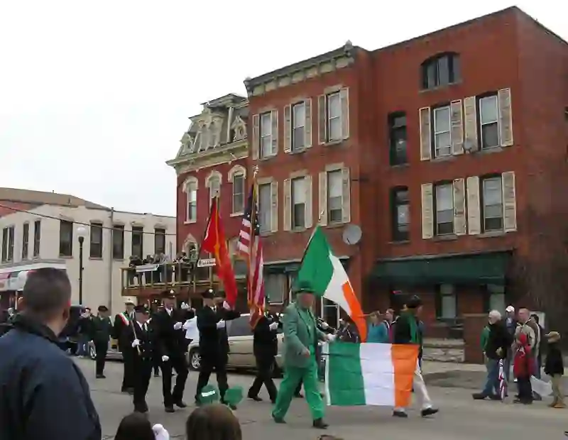
Hornell is a city located in Steuben County, New York. It has a population of 8,263 as of 2020 and was established in 1790. The city is named after the Hornell family, who were among the early settlers in the area. Hornell is surrounded by the Town of Hornellsville and is situated about 55 miles south of Rochester, near the western edge of Steuben County. Known as the "Maple City," Hornell was once home to many large maple trees that adorned the town and the nearby hills of the Canisteo Valley. The city hosts one of the largest Saint Patrick's Day parades in the region, attracting many residents to celebrate the arrival of spring.
Source: Wikipedia (CC BY-SA 4.0) and Wikidata, rewritten for RoadBreakMap.
Places
Listed with the most recorded facilities first. This is not a rating or a recommendation; always check before you travel.
- BRYANT SCHOOL #1
- EV up to 3.7 kW
- BRYANT SCHOOL #2
- EV up to 3.7 kW
- Best Western Maple City Inn
- EV up to 16 kW
- Community Bank
- HOTEL LOCATION HIHL 1 LEFT
- EV up to 3.7 kW
- HOTEL LOCATION HIHL 2 CENTER
- EV up to 3.7 kW
- HOTEL LOCATION HIHL 3 RIGHT
- EV up to 3.7 kW
- Maple City Savings Bank
- Mobil
- Simmons Rockwell Ford Hornell NY
- Fast EV (50 kW)
- St. James Hospital - Tesla Destination
- EV up to 3.7 kW
- Stop and Shop
- Walgreens
- Maple City Savings Bank
- Marathon
- Red Apple Kwik Fill
- ServU Credit Union
Nearby: Dansville Bath Coudersport Gaines Penn Yan Rochester Olean Elmira Saint Bonaventure Geneva Auburn Bradford
Places, opening hours and charger details come from open data and may be incomplete, out of date or wrong. Never use your phone while driving. Disclaimer & terms