Road stops in Garland, Texas, the United States
RoadBreakMap lists 286 mapped road stops in Garland, Texas, the United States: fuel, EV chargers, rest areas, drive-throughs and public toilets, where the data has them. Data: OpenStreetMap and Open Charge Map.
About Garland
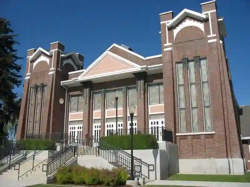
Garland is a city located in Dallas County, Texas, with parts extending into Collin and Rockwall counties. It lies to the northeast of Dallas and is part of the Dallas-Fort Worth metro area. The city had a population of 246,018 in 2020, making it one of the larger cities in Texas and the third largest in Dallas County. Garland offers public transportation options, including two DART Blue Line stations, providing easy access to downtown Dallas.
Source: Wikipedia (CC BY-SA 4.0) and Wikidata, rewritten for RoadBreakMap.
Drive-throughs (107)Fuel (103)EV chargers (54)Public toilets (19)
Places
Listed with the most recorded facilities first. This is not a rating or a recommendation; always check before you travel.
- Shell
- Open 24 hours
- 7-Eleven
- Open 24 hours
- Costco Gasoline
- Opening hours listed
- Graviti Energy
- Open 24 hours
- Fast EV (50 kW)
- McDonald's
- Open 24 hours
- McDonald's
- Open 24 hours
- McDonald's
- Open 24 hours
- McDonald's
- Open 24 hours
- McDonald's
- Open 24 hours
- McDonald's
- Open 24 hours
- Shell Recharge
- Free
- EV up to 3.7 kW
- Shell Recharge
- Free
- Tesla Destination Charger
- Open 24 hours
- Whataburger
- Open 24 hours
- Arby's
- Opening hours listed
- Arby's
- Opening hours listed
- Braum's
- Opening hours listed
- Burger King
- Opening hours listed
- Burger King
- Opening hours listed
- Burger King
- Opening hours listed
- Burger King
- Opening hours listed
- Burger King
- Opening hours listed
- Burger King
- Opening hours listed
- Burger King
- Opening hours listed
- CVS Pharmacy
- Opening hours listed
- Chase
- Opening hours listed
- Chase
- Opening hours listed
- Chick-fil-A
- Opening hours listed
- Chick-fil-A
- Opening hours listed
- Chick-fil-A
- Opening hours listed
- Chick-fil-A
- Opening hours listed
- Culver's
- Opening hours listed
- Dunkin'
- Opening hours listed
- Dunkin'
- Opening hours listed
- Dunkin'
- Opening hours listed
- Dunkin'
- Opening hours listed
- Einstein Bros. Bagels
- Opening hours listed
- HTeaO
- Opening hours listed
- In-N-Out Burger
- Opening hours listed
- In-N-Out Burger
- Opening hours listed
- KFC
- Opening hours listed
- McDonald's
- Opening hours listed
- McDonald's
- Opening hours listed
- McDonald's
- Opening hours listed
- McDonald's
- Opening hours listed
- McDonald's
- Opening hours listed
- McDonald's
- Opening hours listed
- McDonald's
- Opening hours listed
- McDonald's
- Opening hours listed
- Panda Express
- Opening hours listed
- Popeyes
- Opening hours listed
- Popeyes
- Opening hours listed
- Popeyes
- Opening hours listed
- Popeyes
- Opening hours listed
- Popeyes
- Opening hours listed
- Popeyes
- Opening hours listed
- Popeyes
- Opening hours listed
- QuikTrip
- RaceTrac
- Raising Cane's
- Opening hours listed
Showing 60 of 286. See more on the map
Nearby: Mesquite Richardson Plano Dallas Mckinney Carrollton Frisco Irving Lewisville Grand Prairie Arlington Terrell
Places, opening hours and charger details come from open data and may be incomplete, out of date or wrong. Never use your phone while driving. Disclaimer & terms