Road stops in Fort Bragg, California, the United States
RoadBreakMap lists 34 mapped road stops in Fort Bragg, California, the United States: fuel, EV chargers, rest areas, drive-throughs and public toilets, where the data has them. Data: OpenStreetMap and Open Charge Map.
About Fort Bragg
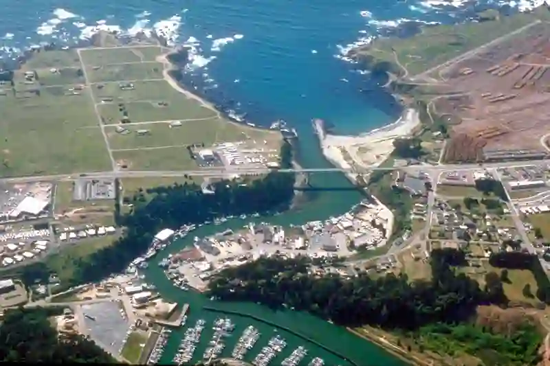
Fort Bragg is a city located in Mendocino County, California, along the North Coast. It sits near the Pacific Ocean and had a population of 6,983 in 2020. The city was established in 1857 as a military garrison and became incorporated in 1889. Known for its coastal views, Fort Bragg features attractions such as Glass Beach and the California Western Railroad, often referred to as the 'Skunk Train.'
Source: Wikipedia (CC BY-SA 4.0) and Wikidata, rewritten for RoadBreakMap.
EV chargers (13)Public toilets (11)
Places
Listed with the most recorded facilities first. This is not a rating or a recommendation; always check before you travel.
- Tesla Supercharger
- Open 24 hours
- Fee applies
- Fast EV (250 kW)
- Norcal Gasoline
- Open 24 hours
- Speedway Express
- Opening hours listed
- Taco Bell
- Opening hours listed
- Wheelchair access
- Chevron
- Opening hours listed
- McDonald's
- Wheelchair access
- Sinclair
- Opening hours listed
- Starbucks
- Wheelchair access
- Public toilets
- Wheelchair access
- Free
- 124 E Pine St
- Fast EV (50 kW)
- 24100 MacKerricher Park Rd (US-PZR-59Q-1)
- EV up to 3.7 kW
- 76
- Arco
- BOATYARD
- EV up to 3 kW
- BOATYARD NEW STATION
- EV up to 3.7 kW
- Beachcomber Motel & Spa on the Beach
- EV up to 8 kW
- Beachcomber Motel and Spa on the Beach
- EV up to 3.8 kW
- CH CITY HALL
- EV up to 3.7 kW
- Eel River Fuels, Inc.
- GENERATOR SHED GENERATOR SHED
- EV up to 3.7 kW
- MENDO COLLEGE FORTBRAGG EV1
- EV up to 3.7 kW
- Ocean View Lodge
- EV up to 16 kW
- EV chargers
- Fee applies
- EV up to 3.7 kW
- Public toilets
- Free
- Public toilets
- Wheelchair access
- Public toilets
- EV chargers
- EV up to 3.7 kW
- Public toilets
- Public toilets
- Public toilets
- Public toilets
- Public toilets
- Public toilets
- Public toilets
Nearby: Mendocino Little River Willits Ukiah Potter Valley Weott Clearlake Eureka Santa Rosa Arcata Willow Creek Mckinleyville
Places, opening hours and charger details come from open data and may be incomplete, out of date or wrong. Never use your phone while driving. Disclaimer & terms