Road stops in Fallon, Nevada, the United States
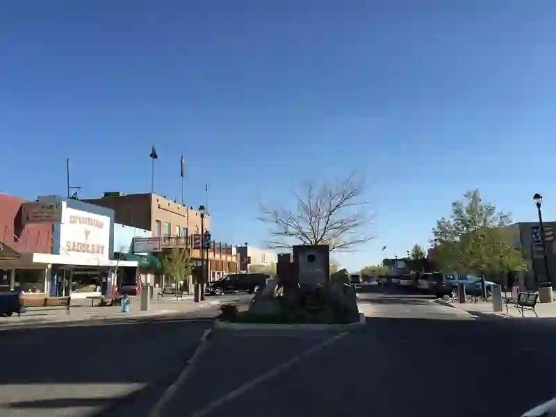
RoadBreakMap lists 20 mapped road stops in Fallon, Nevada, the United States: fuel, EV chargers, rest areas, drive-throughs and public toilets, where the data has them. Data: OpenStreetMap and Open Charge Map.
About Fallon
Fallon is a city in Churchill County, Nevada, and serves as the county seat. The city is located in the Lahontan Valley and has a population of 9,327 as of the 2020 census. Fallon is home to Naval Air Station Fallon, which is situated southeast of the city.
Source: Wikipedia (CC BY-SA 4.0) and Wikidata, rewritten for RoadBreakMap.
Places
Listed with the most recorded facilities first. This is not a rating or a recommendation; always check before you travel.
- Arby's
- Opening hours listed
- Burger King
- Opening hours listed
- 76
- CVS Pharmacy
- Fox Peak Fallon - Level 2
- EV up to 3 kW
- Golden Gate Petroleum
- Jack in the Box
- Maverik
- NAVFAC
- EV up to 3 kW
- Sinclair
- Sinclair
- Texaco at Fox Creek Station
- Harmon Junction
- EV chargers
- EV up to 6.5 kW
- Fuel
- Fuel
- Fuel
- Fuel
- Public toilets
- Public toilets
Nearby: Yerington Hawthorne Reno Bridgeport South Lake Tahoe Lee Vining June Lake Pinecrest Winnemucca Mammoth Lakes Sierra City Emigrant Gap
Places, opening hours and charger details come from open data and may be incomplete, out of date or wrong. Never use your phone while driving. Disclaimer & terms