Road stops in Enid, Oklahoma, the United States
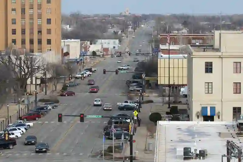
RoadBreakMap lists 38 mapped road stops in Enid, Oklahoma, the United States: fuel, EV chargers, rest areas, drive-throughs and public toilets, where the data has them. Data: OpenStreetMap and Open Charge Map.
About Enid
Enid is a city located in Garfield County, Oklahoma, and serves as the county seat. Founded in 1893 during the Land Run, it has grown to become the ninth-largest city in Oklahoma, with a population of over 51,000. Enid is known for its significant grain storage capacity, earning it nicknames like the "Queen Wheat City" and "Wheat Capital" of both Oklahoma and the United States.
Source: Wikipedia (CC BY-SA 4.0) and Wikidata, rewritten for RoadBreakMap.
Places
Listed with the most recorded facilities first. This is not a rating or a recommendation; always check before you travel.
- Francis Energy Supercharger
- Open 24 hours
- Wheelchair access
- Fee applies
- Arby's
- Opening hours listed
- McDonald's
- Opening hours listed
- McDonald's
- Opening hours listed
- McDonald's
- Opening hours listed
- Sonic
- Opening hours listed
- 401 EN CO DET 1
- EV up to 3.7 kW
- Francis Energy
- Fast EV (50 kW)
- Garriott Express
- Fast EV (50 kW)
- Glo Best Western
- EV up to 3.7 kW
- Godfather's Pizza
- Fast EV (50 kW)
- Love's Travel Stop
- Pacific NW
- EV up to 3.7 kW
- Papa Johns Pizza - Francis Energy
- Fast EV (200 kW)
- Phillips 66
- Stride Bank
- Opening hours listed
- Walmart
- Cowboy First Bank
- Holdings
- Interbank Drive Thru ATM
- Jiffy Trip
- Jiffy Trip
- Mama Tita's Mexican Tacos
- Fuel
- Fuel
- Fuel
- Fuel
- Fuel
- Fuel
- Fuel
- Fuel
- Fuel
- Fuel
- Fuel
- Fuel
- Fuel
- Fuel
- Public toilets
Nearby: Watonga Southard Ponca City Stillwater Oklahoma City Arkansas City Weatherford Chandler Norman Fort Cobb Stroud Wichita
Places, opening hours and charger details come from open data and may be incomplete, out of date or wrong. Never use your phone while driving. Disclaimer & terms