Road stops in Atascadero, California, the United States
RoadBreakMap lists 179 mapped road stops in Atascadero, California, the United States: fuel, EV chargers, rest areas, drive-throughs and public toilets, where the data has them. Data: OpenStreetMap and Open Charge Map.
About Atascadero
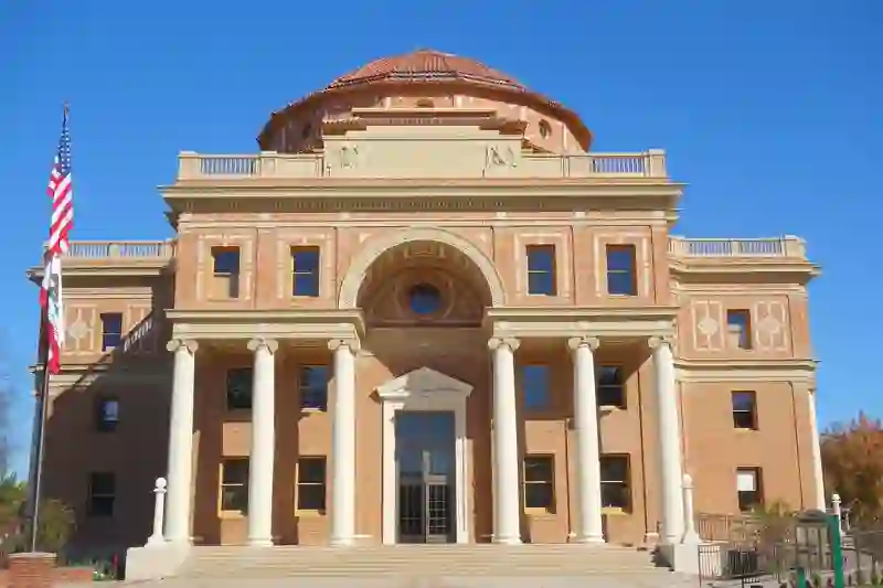
Atascadero is a place in San Luis Obispo County, United States. Its recorded population is 29,773 (2020). It sits at an elevation of about 268 m. Use the map and lists on this page to find fuel, EV charging, toilets, rest areas and food stops around town.
Facts: Wikidata.
Public toilets (121)EV chargers (26)Fuel (19)Drive-throughs (13)
Places
Listed with the most recorded facilities first. This is not a rating or a recommendation; always check before you travel.
- Tesla Supercharger
- Open 24 hours
- Wheelchair access
- Fee applies
- Fast EV (50 kW)
- Tesla Supercharger
- Open 24 hours
- Wheelchair access
- Fee applies
- Tesla Supercharger
- Open 24 hours
- Fee applies
- Fast EV (150 kW)
- Tesla Supercharger
- Open 24 hours
- Fee applies
- Fast EV (50 kW)
- Burger King
- Opening hours listed
- Wheelchair access
- Circle K
- Open 24 hours
- In-N-Out Burger
- Opening hours listed
- Wheelchair access
- McDonald's
- Wheelchair access
- McDonald's
- Opening hours listed
- Wheelchair access
- Starbucks
- Wheelchair access
- Starbucks
- Wheelchair access
- Taco Bell
- Opening hours listed
- Wheelchair access
- Taco Bell
- Opening hours listed
- Wheelchair access
- 76
- Chevron
- Rabobank
- Wheelchair access
- Public toilets
- Wheelchair access
- Free
- Public toilets
- Wheelchair access
- Free
- 76
- ATASCADERO LP STATION 1 GW
- EV up to 3.7 kW
- ATASCADERO LP STATION 2
- EV up to 3.7 kW
- Anna's Charger
- EV up to 12 kW
- Arco
- Atascadero Home2
- EV up to 3.7 kW
- Chateau Margene
- EV up to 8 kW
- Chateau Margene - Tesla Destination
- EV up to 3.7 kW
- Chevron
- Chevron
- Circle K
- EV ARC EVARC1966
- EV up to 3.7 kW
- EVCS
- Fast EV (50 kW)
- Electrify America
- Fast EV (350 kW)
- Electrify America
- Fastrip
- Hacienda Robles - Tesla Destination
- EV up to 3.7 kW
- Heritage Oaks Bank
- Wheelchair access
- MORRO BAY EMBARCADERO 1
- EV up to 3.7 kW
- MP ANNEX, LLC EVCS-1
- EV up to 3.7 kW
- Mobil
- NHC MORRO BAY 1
- EV up to 3.7 kW
- On the Beach Bed and Breakfast
- EV up to 8 kW
- Read Investments Mission Oaks SC (Atascadero, CA)
- Fast EV (350 kW)
- SESLOC Federal Credit Union
- Wheelchair access
- Shell
- Shell
- Shell
- Sinclair
- Union Bank
- Valero
- Walgreens
- Wellspring Ranch - Tesla
- EV up to 16 kW
- Wellspring Ranch - Tesla Destination
- EV up to 3.7 kW
- Public toilets
- Wheelchair access
- Public toilets
- Wheelchair access
- Public toilets
- Public toilets
- Wheelchair access
- Public toilets
- Wheelchair access
- Public toilets
- Free
- Public toilets
- Free
- Public toilets
- Free
Showing 60 of 179. See more on the map
Nearby: San Luis Obispo Paso Robles Cambria Santa Maria Coalinga Greenfield Lemoore Wasco Goleta Isla Vista Santa Barbara Salinas
Places, opening hours and charger details come from open data and may be incomplete, out of date or wrong. Never use your phone while driving. Disclaimer & terms