Road stops in Lubny, Poltava, Ukraine
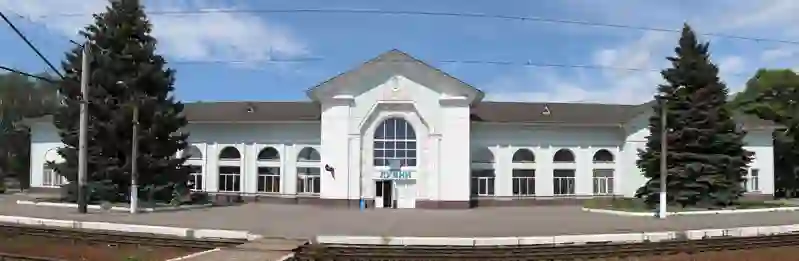
RoadBreakMap lists 37 mapped road stops in Lubny, Poltava, Ukraine: fuel, EV chargers, rest areas, drive-throughs and public toilets, where the data has them. Data: OpenStreetMap and Open Charge Map.
About Lubny
Lubny is a city located in central Ukraine, within the Poltava region. It is recognized as a city of regional significance and serves as the administrative center for Lubny Raion. Established in 988, Lubny has a population of around 44,000. The city is part of Lubenskiy Uyezd and is known for its local governance through the Lubny urban hromada.
Source: Wikipedia (CC BY-SA 4.0) and Wikidata, rewritten for RoadBreakMap.
Places
Listed with the most recorded facilities first. This is not a rating or a recommendation; always check before you travel.
- Укрнафта
- Open 24 hours
- Marshal
- Open 24 hours
- BVS №26
- Open 24 hours
- BVS №51
- Open 24 hours
- Public toilets
- Open 24 hours
- 1919 IONITY AC/DC by EF Готельно-ресторанний комплекс Каспій
- Fast EV (120 kW)
- Autotrans
- Kaskiy Lubkova Balka
- Fast EV (50 kW)
- ТатНефть
- Opening hours listed
- Public toilets
- Free
- Public toilets
- Public toilets
- Wheelchair access
- Public toilets
- Free
- Public toilets
- Free
- Public toilets
- Public toilets
- BrentOil
- АГНКС Метан
- Автозаправка
- Автозаправка
- Автотранс
- Fuel
- Fuel
- Fuel
- Rest areas
- Rest areas
- Public toilets
- Public toilets
- Public toilets
- Public toilets
- Public toilets
- Public toilets
- Public toilets
- Public toilets
- Public toilets
- Public toilets
- Public toilets
Nearby: Myrhorod Pryluky Romny Kremenchuk Hadyach Cherkasy Yahotyn Konotop Bakhmach Kyivskyi Pereiaslav Nizhyn
Places, opening hours and charger details come from open data and may be incomplete, out of date or wrong. Never use your phone while driving. Disclaimer & terms