Road stops in Desna, Kyiv City, Ukraine
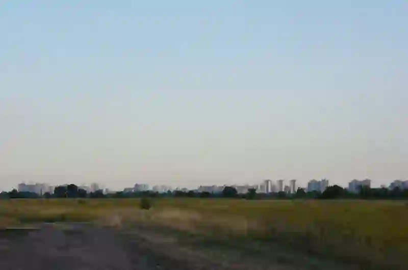
RoadBreakMap lists 23 mapped road stops in Desna, Kyiv City, Ukraine: fuel, EV chargers, rest areas, drive-throughs and public toilets, where the data has them. Data: OpenStreetMap and Open Charge Map.
About Desna
Desna is a district in Kyiv, Ukraine, located in the northeastern part of the city along the Right Bank of the Dnieper River. Established in 1987, it is the most populated area in Kyiv, primarily consisting of residential neighborhoods. The district includes two main microdistricts, Vyhurivshchyna-Troieshchyna and Lisovyi, and has a small industrial zone called Kulykove. While Desna has limited commercial activity, it serves the local community with basic retail services. Its transportation links to the rest of the city are not very strong, giving it a unique feel as a "city within a city."
Source: Wikipedia (CC BY-SA 4.0) and Wikidata, rewritten for RoadBreakMap.
Places
Listed with the most recorded facilities first. This is not a rating or a recommendation; always check before you travel.
- ОККО
- Open 24 hours
- Baby change
- Укрнафта
- Open 24 hours
- Avantage 7
- Open 24 hours
- БРСМ-Нафта
- Public toilets
- Open 24 hours
- Fuel
- Public toilets
- Free
- Public toilets
- Free
- Public toilets
- Free
- Public toilets
- Free
- Public toilets
- Free
- Motto
- Fuel
- Fuel
- Public toilets
- Fuel
- Rest areas
- Rest areas
- Rest areas
- Public toilets
- Public toilets
- Public toilets
- Public toilets
Nearby: Vyhurivshchyna-Troyeshchyna Dniprovskyi Obolon Kyiv Brovary Pechersk Shevchenkivskyi Darnytsya Pozniaky Borshchahivka Mykilska Borshchahivka Berezan
Places, opening hours and charger details come from open data and may be incomplete, out of date or wrong. Never use your phone while driving. Disclaimer & terms