Road stops in Kara, Kara, Togo
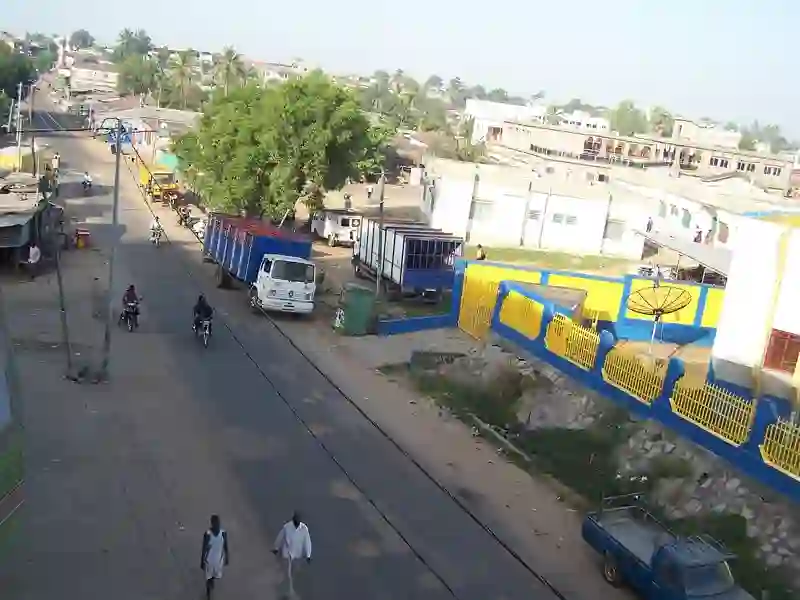
RoadBreakMap lists 31 mapped road stops in Kara, Togo: fuel, EV chargers, rest areas, drive-throughs and public toilets, where the data has them. Data: OpenStreetMap and Open Charge Map.
About Kara
Kara is a city in northern Togo and serves as the capital of the Kara region. It is located 413 km north of Lomé and has a population of 158,090. The Kara River flows through the city, which developed from a village known as Lama-Kara starting in the 1970s.
Source: Wikipedia (CC BY-SA 4.0) and Wikidata, rewritten for RoadBreakMap.
Places
Listed with the most recorded facilities first. This is not a rating or a recommendation; always check before you travel.
- T-Oil
- Total Kara II
- Public toilets
- Wheelchair access
- CAP
- MRS
- SHELL2
- Somayaf
- Total
- Total
- Total
- Total Bafilo
- Total Kabou
- Public toilets
- Public toilets
- Public toilets
- Wheelchair access
- CAP Soumbou
- CAP de KÉTAO
- Cap
- ICAT Keran
- Oando
- Station Total
- Station service Zener
- Total Kara I
- Total Kara III
- Total Kara Tomdè
- Fuel
- Fuel
- Fuel
- Fuel
- Fuel
- Public toilets
Nearby: Sokodé Dapaong Sinkassé Atakpamé Notsé Kpalimé Tabligbo Lomé
Places, opening hours and charger details come from open data and may be incomplete, out of date or wrong. Never use your phone while driving. Disclaimer & terms