Road stops in Dakar, Dakar, Senegal
RoadBreakMap lists 135 mapped road stops in Dakar, Senegal: fuel, EV chargers, rest areas, drive-throughs and public toilets, where the data has them. Data: OpenStreetMap and Open Charge Map.
About Dakar
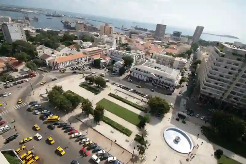
Dakar is a region in Senegal and includes the capital city, Dakar, along with its suburbs. It is the smallest yet most populated region of the country, located on the Cap Vert peninsula, which is the westernmost point of Africa. The Atlantic Ocean borders this region, adding to its significance.
Source: Wikipedia (CC BY-SA 4.0) and Wikidata, rewritten for RoadBreakMap.
Fuel (84)Public toilets (34)Rest areas (12)
Places
Listed with the most recorded facilities first. This is not a rating or a recommendation; always check before you travel.
- Station Total de Gueule Tapée
- Open 24 hours
- Public toilets
- Wheelchair access
- Free
- Station Shell Liberté 5
- Open 24 hours
- Station Shell Liberté 5
- Open 24 hours
- Total
- TotalEnergies
- Public toilets
- Wheelchair access
- Fee applies
- Public toilets
- Wheelchair access
- Fee applies
- Public toilets
- Wheelchair access
- Free
- Public toilets
- Wheelchair access
- Free
- CBAO
- Elton
- Elton
- KFC
- Opening hours listed
- OILIBYA du Point E
- Oilibya
- Ola
- Shell
- Shell
- Station Shell Bel Air
- Total
- Total
- Public toilets
- Wheelchair access
- Free
- Public toilets
- Fee applies
- Public toilets
- Free
- Public toilets
- Free
- Public toilets
- Free
- Public toilets
- Wheelchair access
- Fee applies
- EYDON
- Elton
- Elton Mermoz
- Lybia Oil
- Oilibya
- Oilibya
- Oilibya
- Oilibya
- Oilibya
- Ola
- Puma
- SHELL
- SHELL
- SHELL
- Shell
- Shell
- Shell
- Shell
- Shell
- Shell
- Shell
- Shell
- Shell
- Shell Ouest Foire
- Star Energy
- Station Elton Ouest Foire
- Station Service
- Station Service shell
- Station Shell de Patte d'Oie
- Total
- Total
- Total
Showing 60 of 135. See more on the map
Nearby: Guédiawaye Pikine Rufisque Rufisque est Thiès Nones Thiès Mbour Tivaouane Louga Kaolack Mbaké Touba
Places, opening hours and charger details come from open data and may be incomplete, out of date or wrong. Never use your phone while driving. Disclaimer & terms