Road stops in Vologda, Vologda Oblast, Russia
RoadBreakMap lists 116 mapped road stops in Vologda, Vologda Oblast, Russia: fuel, EV chargers, rest areas, drive-throughs and public toilets, where the data has them. Data: OpenStreetMap and Open Charge Map.
About Vologda
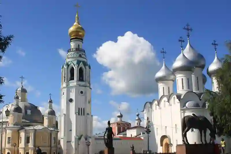
Vologda is a city in the northwest of Russia, located in Vologda Oblast. It is the administrative center of the region and sits along the Vologda River. Founded in 1147, Vologda has a population of around 311,476. The city is classified as a historic city by the Ministry of Culture of the Russian Federation.
Source: Wikipedia (CC BY-SA 4.0) and Wikidata, rewritten for RoadBreakMap.
Fuel (74)Diesel (31)Public toilets (25)
Places
Listed with the most recorded facilities first. This is not a rating or a recommendation; always check before you travel.
- Лукойл
- Open 24 hours
- Лукойл
- Open 24 hours
- Лукойл
- Open 24 hours
- Лукойл
- Open 24 hours
- Лукойл
- Open 24 hours
- Лукойл
- Open 24 hours
- Лукойл
- Open 24 hours
- Лукойл
- Open 24 hours
- Лукойл
- Open 24 hours
- Лукойл
- Open 24 hours
- Лукойл
- Open 24 hours
- Лукойл
- Open 24 hours
- Газпромнефть
- Open 24 hours
- Газпромнефть
- Open 24 hours
- Газпромнефть
- Open 24 hours
- Лукойл
- Open 24 hours
- Лукойл
- Open 24 hours
- Лукойл
- Open 24 hours
- Лукойл
- Open 24 hours
- Лукойл
- Open 24 hours
- Татнефть
- Open 24 hours
- Энтиком-Инвест
- Open 24 hours
- Русснефть
- Open 24 hours
- Энтиком-Инвест
- Open 24 hours
- Энтиком-Инвест
- Open 24 hours
- ГазСервисАвто
- Open 24 hours
- Пропан
- Open 24 hours
- РуссНефть
- Open 24 hours
- Fuel
- Open 24 hours
- Teboil
- Opening hours listed
- Teboil
- Opening hours listed
- Teboil
- Opening hours listed
- Teboil
- Opening hours listed
- Teboil
- Opening hours listed
- Лукойл
- Open 24 hours
- Энтиком-Инвест
- Энтиком-Инвест
- Этиком-Инвест
- Этиком-Инвест
- Public toilets
- Free
- Teboil
- АГЗС пропан
- Лукойл
- Ресурс-Ойл
- Татнефть АЗС N664
- Энтиком инвест
- Энтиком-Инвест
- Этиком-инвест
- колхозная АЗС
- EV chargers
- Fast EV (50 kW)
- Fuel
- Fuel
- Fuel
- Fuel
- Fuel
- Rest areas
- Free
- Rest areas
- Free
- Public toilets
- Free
- Public toilets
- Public toilets
Showing 60 of 116. See more on the map
Nearby: Danilov Yaroslavl Rybinsk Kostroma Cherepovets Rostov Veliky Uglich Ivanovo Pereslavl’-Zalesskiy Yur’yev-Pol’skiy Vel’sk Kineshma
Places, opening hours and charger details come from open data and may be incomplete, out of date or wrong. Never use your phone while driving. Disclaimer & terms