Road stops in Armavir, Krasnodar Krai, Russia
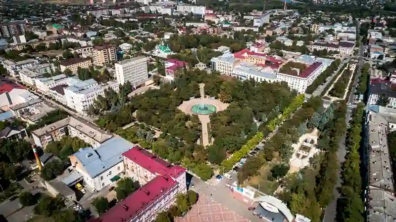
RoadBreakMap lists 138 mapped road stops in Armavir, Krasnodar Krai, Russia: fuel, EV chargers, rest areas, drive-throughs and public toilets, where the data has them. Data: OpenStreetMap and Open Charge Map.
About Armavir
Armavir is a city located in Krasnodar Krai, Russia, along the left bank of the Kuban River. Founded in 1839, it has grown to become the second-largest industrial center in the region. The population is over 185,000, and the city is part of the Municipal Formation of the City of Armavir. Its elevation is 190 meters above sea level.
Source: Wikipedia (CC BY-SA 4.0) and Wikidata, rewritten for RoadBreakMap.
Fuel (107)Public toilets (28)Diesel (27)
Places
Listed with the most recorded facilities first. This is not a rating or a recommendation; always check before you travel.
- Лукойл
- Open 24 hours
- Лукойл
- Open 24 hours
- Лукойл
- Open 24 hours
- Лукойл
- Open 24 hours
- Лукойл
- Open 24 hours
- Лукойл
- Open 24 hours
- Лукойл
- Open 24 hours
- Лукойл
- Open 24 hours
- Роснефть
- Open 24 hours
- ТНК
- Open 24 hours
- Wheelchair access
- Газпромнефть
- Open 24 hours
- Роснефть
- Open 24 hours
- ТНК
- Open 24 hours
- Public toilets
- Open 24 hours
- Wheelchair access
- Public toilets
- Open 24 hours
- Wheelchair access
- Роснефть
- Open 24 hours
- Роснефть
- Open 24 hours
- Роснефть
- Open 24 hours
- Роснефть
- Open 24 hours
- Урупский
- Opening hours listed
- Wheelchair access
- Public toilets
- Opening hours listed
- Wheelchair access
- Башнефтепродукт
- Open 24 hours
- Газпром газомоторное топливо метан
- Open 24 hours
- Евро 7
- Open 24 hours
- Роснефть
- Open 24 hours
- Роснефть
- Open 24 hours
- Роснефть
- Open 24 hours
- Public toilets
- Wheelchair access
- Fee applies
- Rusoil
- Башнефть продукт
- Газпром
- Крокус
- Подсолнух
- Open 24 hours
- Роснефть
- Степная
- Opening hours listed
- Южная
- Fuel
- Open 24 hours
- Public toilets
- Wheelchair access
- Public toilets
- Wheelchair access
- Independent
- RUSOIL
- Атра метан
- Магнит Экстра Армавир
- Fast EV (150 kW)
- ООО "Тракт"
- Пропан
- Роснефть
- Роснефть
- ТНК
- ТНК
- Уфим-нефть
- Флешка
- Fuel
- Fuel
- Fuel
- Fuel
- Fuel
- Fuel
- Fuel
- Fuel
- Fuel
Showing 60 of 138. See more on the map
Nearby: Labinsk Gul’kevichi Mostovskoy Kropotkin Nevinnomyssk Stavropol Tbilisskaya Maykop Krasnogvardeyskoye Belaya Glina Tikhoretsk Cherkessk
Places, opening hours and charger details come from open data and may be incomplete, out of date or wrong. Never use your phone while driving. Disclaimer & terms