Road stops in Wieluń, Łódź Voivodeship, Poland
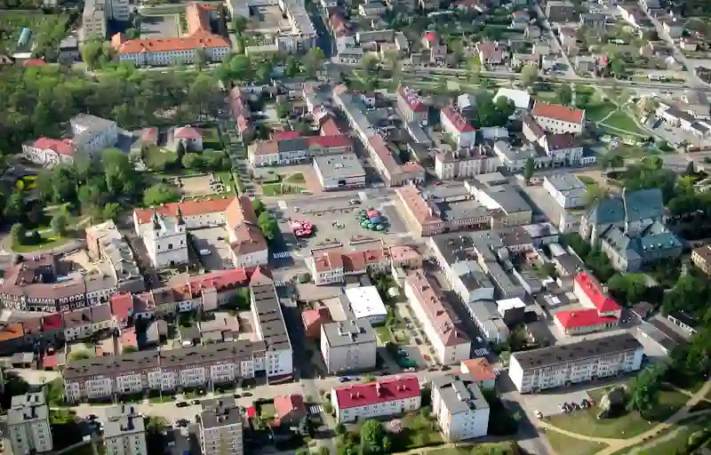
RoadBreakMap lists 58 mapped road stops in Wieluń, Łódź Voivodeship, Poland: fuel, EV chargers, rest areas, drive-throughs and public toilets, where the data has them. Data: OpenStreetMap and Open Charge Map.
About Wieluń
Wieluń is an urban-rural municipality located in the Łódź Voivodeship of Poland. It serves as the administrative district for Wieluń County, with the town of Wieluń as its seat. The area covers 131.2 square kilometers and has a diverse population, with a mix of urban and rural communities. The town lies about 88 kilometers southwest of Łódź, the regional capital, making it an interesting spot in central Poland.
Source: Wikipedia (CC BY-SA 4.0) and Wikidata, rewritten for RoadBreakMap.
Fuel (37)Diesel (13)Public toilets (10)
Places
Listed with the most recorded facilities first. This is not a rating or a recommendation; always check before you travel.
- BP
- Open 24 hours
- Wheelchair access
- Interoil Szczerców
- Open 24 hours
- Wheelchair access
- Moya
- Open 24 hours
- Moya
- Open 24 hours
- Public toilets
- Open 24 hours
- Wheelchair access
- Free
- Shell
- Avia
- Open 24 hours
- Circle K
- Dorgas
- Open 24 hours
- Moya
- Open 24 hours
- Orlen
- Orlen
- Orlen
- Pieprzyk
- Open 24 hours
- Powerdot
- Fee applies
- Stacja Paliw PKS
- Open 24 hours
- Public toilets
- Open 24 hours
- Free
- Public toilets
- Wheelchair access
- Free
- Carrefour Express
- GreenWay
- GreenWay
- Kaufland
- McDonald's
- Opening hours listed
- McDonald's
- Opening hours listed
- Orlen
- Orlen
- Orlen
- Public toilets
- Wheelchair access
- Free
- Dan-Gaz LPG
- ECHO
- Intermarche
- Wheelchair access
- KOMPAN
- MOP Chojny Południe
- MOP Chojny Północ
- Moya
- Orlen
- Shell
- Slovnaft Partner
- Stacja LPG
- Stacja LPG
- EV chargers
- Fuel
- Fuel
- Fuel
- Public toilets
- Fee applies
- Public toilets
- Fee applies
- Public toilets
- Fee applies
- LPG
- MOP Ochędzyn
- Fuel
- Fuel
- Fuel
- Fuel
- Fuel
- Rest areas
- Public toilets
- Public toilets
- Public toilets
Nearby: Bełchatów Kalisz Namysłów Częstochowa Turek Opole Koło Bytom Gliwice Zabrze Ruda Śląska Chorzów
Places, opening hours and charger details come from open data and may be incomplete, out of date or wrong. Never use your phone while driving. Disclaimer & terms