Road stops in Huamachuco, La Libertad, Peru
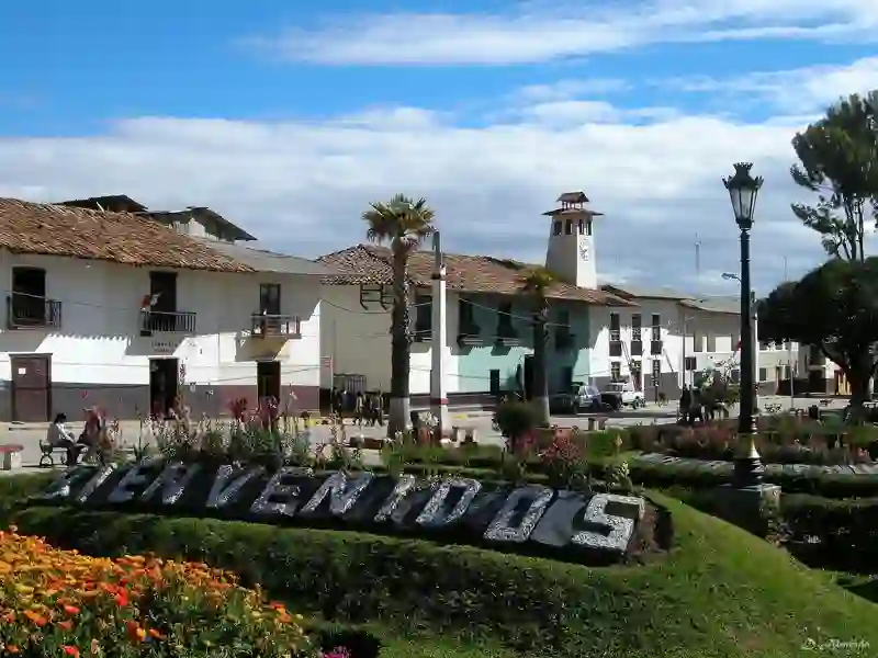
RoadBreakMap lists 17 mapped road stops in Huamachuco, La Libertad, Peru: fuel, EV chargers, rest areas, drive-throughs and public toilets, where the data has them. Data: OpenStreetMap and Open Charge Map.
About Huamachuco
Huamachuco is a city in the La Libertad region of Peru and serves as the capital of Sánchez Carrión. It is located in the Huamachuco District at an elevation of 3,183 meters. The population was 41,613 in 2017. The city is known for its connection to the Territorial Prelature of Huamachuco. Nearby, Lake Sausacocha is located to the northeast. The area also has significant pre-Columbian sites, including Marcahuamachuco, which was a political and religious center, and the ruins of a Wari city called Viracochapampa, situated just north of the city.
Source: Wikipedia (CC BY-SA 4.0) and Wikidata, rewritten for RoadBreakMap.
Places
Listed with the most recorded facilities first. This is not a rating or a recommendation; always check before you travel.
- Repsol
- Estación de Servicios El Profe
- Estación de Servicios Virgen de la Puerta
- Grifo Garrincha
- Primax
- Estación de Sevicios Ronvel
- Grifo Merino
- Fuel
- Fuel
- Fuel
- Fuel
- Fuel
- Fuel
- Fuel
- Fuel
- Fuel
- Public toilets
Nearby: Cajamarca Trujillo Yuracoto Ichic Huaylas Pilcomayo Caraz Chimbote Chepen Guadalupe Chachapoyas Tocache Huaraz
Places, opening hours and charger details come from open data and may be incomplete, out of date or wrong. Never use your phone while driving. Disclaimer & terms