Road stops in Nouméa, Province Sud, New Caledonia
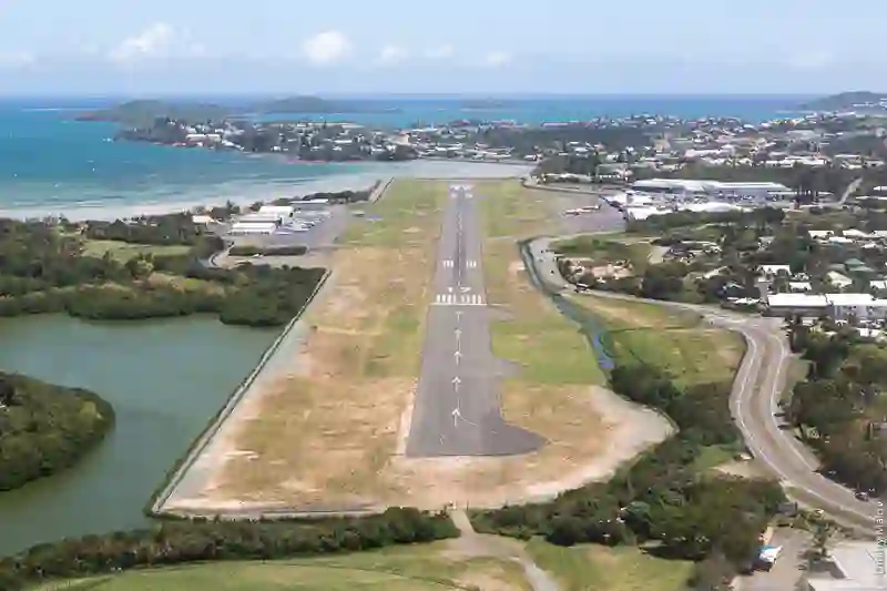
RoadBreakMap lists 93 mapped road stops in Nouméa, Province Sud, New Caledonia: fuel, EV chargers, rest areas, drive-throughs and public toilets, where the data has them. Data: OpenStreetMap and Open Charge Map.
About Nouméa
Nouméa is the capital and largest city of New Caledonia, located in the South Province. It sits on a peninsula and is home to a mix of populations, including Europeans, Polynesians, Indonesians, Vietnamese, and Melanesians. The city features a deepwater harbour that serves as the main port for New Caledonia. Founded in 1854, Nouméa has experienced a population decline according to the latest census.
Source: Wikipedia (CC BY-SA 4.0) and Wikidata, rewritten for RoadBreakMap.
Fuel (41)Public toilets (41)Diesel (24)
Places
Listed with the most recorded facilities first. This is not a rating or a recommendation; always check before you travel.
- Mobil Cap Vert Belle Vie
- Open 24 hours
- Total Général Patch
- Open 24 hours
- Mobil Michel Ange
- Open 24 hours
- Shell Portes des Fer
- Opening hours listed
- Mobil Calvaire
- Mobil Ducos Delco
- Mobil Vallée des Colons
- Opening hours listed
- Shell Ducos
- Wheelchair access
- Shell Port Plaisance
- Shell Victoire Moselle
- Smappee
- Fee applies
- Smappee
- Fee applies
- Station Capy
- Open 24 hours
- Station Moselle
- Total Faubourg
- Total Sainte-Marie Géant
- TotalEnergies
- Public toilets
- Wheelchair access
- Baby change
- Free
- Raïss'Cook
- Opening hours listed
- Shell Péage de Tina
- Station Mobil Conception
- Station Mobil du Pont des Français
- Station Total Rocade
- Opening hours listed
- Total Anse Vata
- Total Ducos Centre
- Total des Lycées
- Public toilets
- Opening hours listed
- Fee applies
- Public toilets
- Wheelchair access
- Free
- BNC
- La case à Pizza
- Opening hours listed
- Mobil
- Shell Anse Vata
- Shell Pacific Petroleum
- Station Service Total Rocade
- Opening hours listed
- Station Service Total Rocade
- Opening hours listed
- Total Magenta Stade
- Total Riviéra
- Total du Marais 6ème km
- Public toilets
- Opening hours listed
- Public toilets
- Public toilets
- Public toilets
- Free
- Public toilets
- Free
- Public toilets
- Free
- Public toilets
- Public toilets
- Depot d' AVGAS
- Dough Pizza Magenta
- Dépot d'hydrocarbure JETA1
- SLN : Station service
- Station Total Robinson
- EV chargers
- EV chargers
- EV chargers
- Fuel
- Fuel
- Fuel
- Fuel
- Fuel
- Fuel
Showing 60 of 93. See more on the map
Places, opening hours and charger details come from open data and may be incomplete, out of date or wrong. Never use your phone while driving. Disclaimer & terms