Road stops in Sittwe, Rakhine, Myanmar
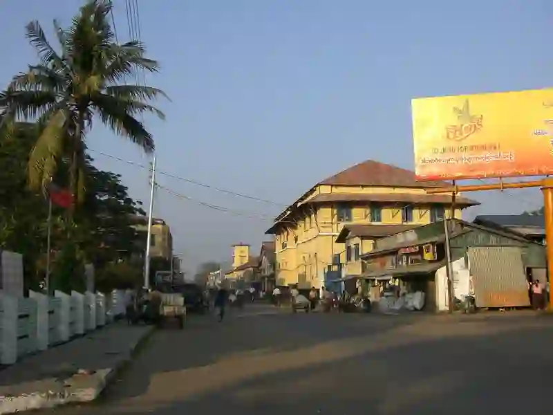
RoadBreakMap lists 460 mapped road stops in Sittwe, Rakhine, Myanmar: fuel, EV chargers, rest areas, drive-throughs and public toilets, where the data has them. Data: OpenStreetMap and Open Charge Map.
About Sittwe
Sittwe is located in Rakhine State, Myanmar. It is home to Sittwe Airport, which serves commercial traffic. The airport has a runway that was upgraded and opened in 2002, with additional improvements made in 2009. It is situated in Sittwe Township at an elevation of 8 meters.
Source: Wikipedia (CC BY-SA 4.0) and Wikidata, rewritten for RoadBreakMap.
Places
Listed with the most recorded facilities first. This is not a rating or a recommendation; always check before you travel.
- တွက်ဂရု ဓာတ်ဆီဆိုင်
- Fuel
- Opening hours listed
- Fuel
- Fuel
- Public toilets
- Public toilets
- Public toilets
- Public toilets
- Public toilets
- Public toilets
- Public toilets
- Public toilets
- Public toilets
- Public toilets
- Public toilets
- Public toilets
- Public toilets
- Public toilets
- Public toilets
- Public toilets
- Public toilets
- Public toilets
- Public toilets
- Public toilets
- Public toilets
- Public toilets
- Public toilets
- Public toilets
- Public toilets
- Public toilets
- Public toilets
- Public toilets
- Public toilets
- Public toilets
- Public toilets
- Public toilets
- Public toilets
- Public toilets
- Public toilets
- Public toilets
- Public toilets
- Public toilets
- Public toilets
- Public toilets
- Public toilets
- Public toilets
- Public toilets
- Public toilets
- Public toilets
- Public toilets
- Public toilets
- Public toilets
- Public toilets
- Public toilets
- Public toilets
- Public toilets
- Public toilets
- Public toilets
- Public toilets
- Public toilets
Showing 60 of 460. See more on the map
Nearby: Buthidaung Town Kyaukpyu Yenangyaung Thandwe Pakokku Kyaukpadaung Pyay Myingyan Monywa Meiktila Yamethin Nay Pyi Taw
Places, opening hours and charger details come from open data and may be incomplete, out of date or wrong. Never use your phone while driving. Disclaimer & terms