Road stops in Mandalay, Mandalay Region, Myanmar
RoadBreakMap lists 64 mapped road stops in Mandalay, Mandalay Region, Myanmar: fuel, EV chargers, rest areas, drive-throughs and public toilets, where the data has them. Data: OpenStreetMap and Open Charge Map.
About Mandalay
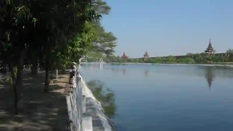
Mandalay is a big city in Myanmar, located on the east bank of the Irrawaddy River. It is the second-largest city in the country and serves as the economic center of Upper Myanmar. Mandalay was founded in 1857 and became the royal capital of the Konbaung dynasty. The city has a significant population and is known for its cultural importance in Myanmar.
Source: Wikipedia (CC BY-SA 4.0) and Wikidata, rewritten for RoadBreakMap.
Fuel (32)Rest areas (16)Public toilets (12)
Places
Listed with the most recorded facilities first. This is not a rating or a recommendation; always check before you travel.
- ီDenko
- Open 24 hours
- Public toilets
- Wheelchair access
- DENKO Station
- Lotteria
- Opening hours listed
- Fuel
- Opening hours listed
- Fuel
- Opening hours listed
- Public toilets
- Public toilets
- Public toilets
- ?? Fuel Station
- BOC ဆီဆိုင္
- Gas Factiory
- Havard Auto Onestop Service
- KBZ
- Korea Car Service Center
- ကမ္ဘောဇ
- အူရီဒူး - Ooredoo
- ေ႒းေ႒းၾကြယ္
- EV chargers
- Fuel
- Fuel
- Fuel
- Fuel
- Fuel
- Fuel
- Fuel
- Fuel
- Fuel
- Fuel
- Fuel
- Fuel
- Fuel
- Fuel
- Fuel
- Fuel
- Fuel
- Fuel
- Fuel
- Fuel
- Fuel
- Fuel
- Fuel
- Fuel
- Rest areas
- Rest areas
- Rest areas
- Rest areas
- Rest areas
- Rest areas
- Rest areas
- Rest areas
- Rest areas
- Rest areas
- Rest areas
- Rest areas
- Rest areas
- Public toilets
- Public toilets
- Public toilets
- Public toilets
Showing 60 of 64. See more on the map
Nearby: Amarapura Kyaukse Pyin Oo Lwin Myingyan Monywa Kyaukme Meiktila Mogok Pakokku Kyaukpadaung Taunggyi Yawnghwe
Places, opening hours and charger details come from open data and may be incomplete, out of date or wrong. Never use your phone while driving. Disclaimer & terms