Road stops in Dawei, Tanintharyi Region, Myanmar
RoadBreakMap lists 24 mapped road stops in Dawei, Tanintharyi Region, Myanmar: fuel, EV chargers, rest areas, drive-throughs and public toilets, where the data has them. Data: OpenStreetMap and Open Charge Map.
About Dawei
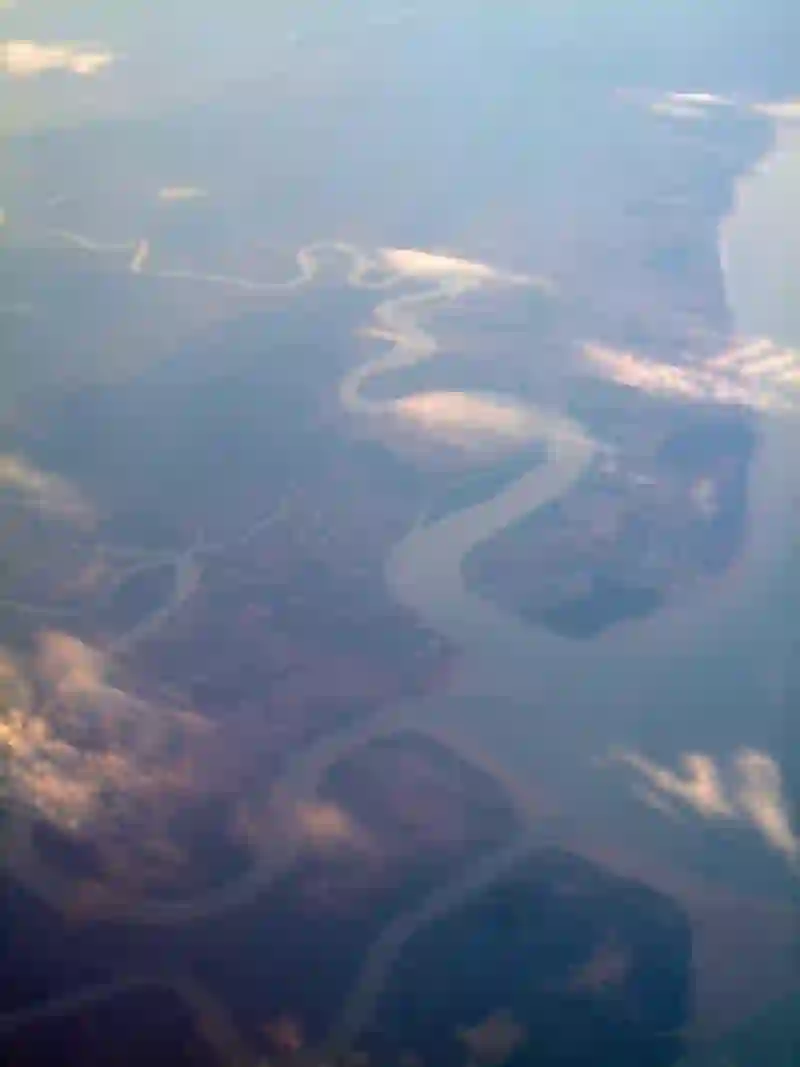
Dawei is a city located in the Tanintharyi Region of Myanmar, situated on the eastern bank of the Dawei River Canal. It serves as the capital of the region and has a population of nearly 147,000. Founded in 1751, Dawei is a port city near the Andaman Sea, making it susceptible to flooding during the monsoon season. The city is also home to one of Myanmar's officially recognized ethnic groups.
Source: Wikipedia (CC BY-SA 4.0) and Wikidata, rewritten for RoadBreakMap.
Places
Listed with the most recorded facilities first. This is not a rating or a recommendation; always check before you travel.
- Yanat Thit Petrol Station
- Open 24 hours
- Fuel
- Open 24 hours
- High Power
- Petro Green ဓာတ်ဆီဆိုင်
- Opening hours listed
- 77777
- Aung Pyoe Pain
- DDPC Petrol Station -1
- DDPCဓာတ်ဆီဆိုင်
- Rest area
- Shwe Pyi Taw
- ဇီဇဝါဝင်းဓာတ်ဆီဆိုင်
- ရွှေဒီဝါစက်
- ရွှေပြည်တော်
- ရွှေပြည်တော်ဆီဆိုင်
- Fuel
- Fuel
- Fuel
- Fuel
- Fuel
- Fuel
- Fuel
- Fuel
- Fuel
- Fuel
Nearby: Ye Myeik Mawlamyine Myawaddy Thaton Mingala Tangnyunt Yangon Kyimyindine Set Ka Lay Kyaikto Insein Mingaladon
Places, opening hours and charger details come from open data and may be incomplete, out of date or wrong. Never use your phone while driving. Disclaimer & terms