Road stops in Arys, Turkistan, Kazakhstan
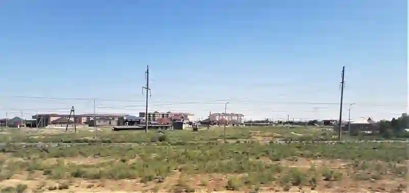
RoadBreakMap lists 21 mapped road stops in Arys, Turkistan, Kazakhstan: fuel, EV chargers, rest areas, drive-throughs and public toilets, where the data has them. Data: OpenStreetMap and Open Charge Map.
About Arys
Arys is a city in the Turkistan region of Kazakhstan. It was established in 1900 and is located within the Arys city administration. The city has a population of around 50,370 as of 2021. Arys serves as a junction for two important rail lines: the Trans-Aral Railway and the Turkestan-Siberia Railway. The Arys station was built around 1904, and some buildings from 1902 to 1905 still exist in the city. Arys became a work settlement in 1932 and was granted city status in 1956. The economy of Arys is focused on agriculture, including grain, cotton, and livestock, along with some industries related to its railroad origins.
Source: Wikipedia (CC BY-SA 4.0) and Wikidata, rewritten for RoadBreakMap.
Places
Listed with the most recorded facilities first. This is not a rating or a recommendation; always check before you travel.
- ADS NEFT
- Kausar
- SINOOIL
- Opening hours listed
- TS
- Open 24 hours
- Satory Автогаз
- Азимут Газ
- Halyk Oil
- Kaz Petrol
- Kaz Prom
- Satory
- Каз Петрол
- Fuel
- Fuel
- Fuel
- Fuel
- Fuel
- Fuel
- Fuel
- Fuel
- Fuel
- Public toilets
Nearby: Shymkent Kazygurt Turkistan Saryaghash Abay Sholakkorgan Turar Ryskulov Zhetysay Zhangaqorghan Taraz Shiyeli Kyzylorda
Places, opening hours and charger details come from open data and may be incomplete, out of date or wrong. Never use your phone while driving. Disclaimer & terms