Road stops in Palopo, South Sulawesi, Indonesia
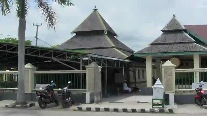
RoadBreakMap lists 35 mapped road stops in Palopo, South Sulawesi, Indonesia: fuel, EV chargers, rest areas, drive-throughs and public toilets, where the data has them. Data: OpenStreetMap and Open Charge Map.
About Palopo
Palopo is an administrative city located in Luwu Regency, Indonesia. It serves as the capital of the regency and is situated at an elevation of 942 meters. The city was established in 1986.
Facts: Wikidata.
Places
Listed with the most recorded facilities first. This is not a rating or a recommendation; always check before you travel.
- SPBU 74.918.03 Karangan
- PLN ULP Belopa
- EV up to 22 kW
- PLN ULP Makale
- EV up to 22 kW
- PLN ULP Palopo
- Fast EV (180 kW)
- PLN ULP Rantepao
- Fast EV (180 kW)
- Pertamina
- Pertamina
- Pertamina
- Pertamina Kasimpo
- SPBU 74.918.01 Tallunglipu
- SPBU 74.918.87 Rantepao
- SPBU 74.919.07
- SPBU 75.919.08 Islamic Center
- SPBU Baebunta
- SPBU Jenderal Sudirman Palopo
- Pertamina
- Pertamini
- Pertamini
- SPBU Pertamina
- pertamini
- Fuel
- Fuel
- Rest areas
- Rest areas
- Rest areas
- Public toilets
- Public toilets
- Public toilets
- Public toilets
- Public toilets
- Public toilets
- Public toilets
- Public toilets
- Public toilets
- Public toilets
Nearby: Parepare Watampone Palu Makassar Kendari Batangmata Bontoborusu Baubau Balikpapan Loa Janan Nusantara Samarinda
Places, opening hours and charger details come from open data and may be incomplete, out of date or wrong. Never use your phone while driving. Disclaimer & terms