Road stops in Kuningan, Jawa Barat, Indonesia
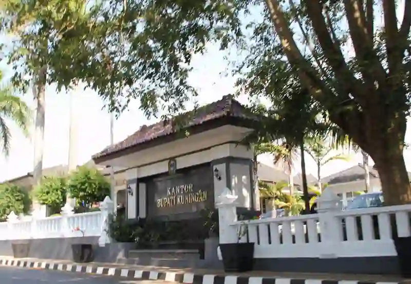
RoadBreakMap lists 20 mapped road stops in Kuningan, Jawa Barat, Indonesia: fuel, EV chargers, rest areas, drive-throughs and public toilets, where the data has them. Data: OpenStreetMap and Open Charge Map.
About Kuningan
Kuningan is a regency in West Java Province, Indonesia. It is located in the eastern part of the province and is bordered by Central Java Province to the east and southeast. The regency has a population of over one million people and is situated at an elevation of 680 meters. Kuningan covers an area of 1,194.09 km2. The town and district of Kuningan serve as the administrative capital.
Source: Wikipedia (CC BY-SA 4.0) and Wikidata, rewritten for RoadBreakMap.
Places
Listed with the most recorded facilities first. This is not a rating or a recommendation; always check before you travel.
- Dapur Sashi
- Opening hours listed
- POm Bensin Rest Area Cirendang Kuningan
- Open 24 hours
- SPBU Pertamina 34-45516 Manislor
- Arunika Resto
- Fast EV (120 kW)
- Hotel Santika Premier
- EV up to 22 kW
- Kajenen Food Park
- EV up to 40 kW
- OIL!
- PLN ULP Cilimus
- EV up to 22 kW
- PLN ULP Kuningan
- EV up to 22 kW
- SPBU Ancaran
- SPBU Jalaksana 34.45517
- ALUN-ALUN DESA
- Pom bensin
- SPBU 34.45501
- SPBU CIHAUR 34.454.13
- Fuel
- Fuel
- Fuel
- Fuel
- Fuel
Nearby: Astanajapura Weru Cirebon Plumbon Ciamis Tasikmalaya Sumedang Utara Adiwerna Garut Paseh Cileunyi Cilacap
Places, opening hours and charger details come from open data and may be incomplete, out of date or wrong. Never use your phone while driving. Disclaimer & terms