Road stops in Peterborough, England, the United Kingdom
RoadBreakMap lists 541 mapped road stops in Peterborough, England, the United Kingdom: fuel, EV chargers, rest areas, drive-throughs and public toilets, where the data has them. Data: OpenStreetMap and Open Charge Map.
About Peterborough
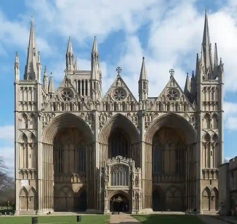
Peterborough is a city and district in Cambridgeshire, England. It includes the largest settlement, Peterborough, along with surrounding villages and hamlets. The area became a unitary authority in 1974 and is bordered by several counties. It has a population of 217,705 as of 2022.
Source: Wikipedia (CC BY-SA 4.0) and Wikidata, rewritten for RoadBreakMap.
EV chargers (184)Public toilets (132)Fuel (124)Rest areas (53)Drive-throughs (48)Diesel (22)
Places
Listed with the most recorded facilities first. This is not a rating or a recommendation; always check before you travel.
- BP
- Open 24 hours
- Wheelchair access
- BP
- Open 24 hours
- Morrisons
- Opening hours listed
- Wheelchair access
- Esso
- Open 24 hours
- Fastned
- Open 24 hours
- Fee applies
- EV charging
- King's Lynn Baker Lane Public Toilets
- Opening hours listed
- Wheelchair access
- Baby change
- Free
- King's Lynn Bus Station Public Toilets
- Opening hours listed
- Wheelchair access
- Baby change
- Free
- King's Lynn Ferry Street Public Toilets
- Opening hours listed
- Wheelchair access
- Baby change
- Free
- King's Lynn St James Multi Storey Public Toilets
- Opening hours listed
- Wheelchair access
- Baby change
- Free
- King's Lynn Supercharger
- Open 24 hours
- Fee applies
- Fast EV (250 kW)
- BP
- Open 24 hours
- BP Colsterworth Service Station
- Downham Market Wales Court Public Toilets
- Opening hours listed
- Wheelchair access
- Fee applies
- Gridserve
- Open 24 hours
- Fast EV (350 kW)
- Gridserve
- Open 24 hours
- EV charging
- Kate's Cabin
- Lincs Gateway Services
- Open 24 hours
- Baby change
- McDonald's
- Open 24 hours
- Morrisons
- Rock Service Station
- Wheelchair access
- Sainsbury's Petrol Station
- Opening hours listed
- Shell
- Open 24 hours
- Shell
- Open 24 hours
- Tesco Fuel Station
- Opening hours listed
- Public toilets
- Wheelchair access
- Baby change
- Free
- Public toilets
- Wheelchair access
- Baby change
- Free
- Asda
- Wheelchair access
- BP
- Wheelchair access
- Changing Places
- Wheelchair access
- Downham Market Memorial Fields Public Toilets
- Opening hours listed
- Wheelchair access
- Esso
- Gridserve
- Opening hours listed
- Fast EV (350 kW)
- King's Lynn Broadwalk Public Toilets
- Opening hours listed
- Wheelchair access
- Lincolnshire Co-op Filling Station
- McDonald's
- Open 24 hours
- McDonald's
- Opening hours listed
- Wheelchair access
- McDonald's
- Open 24 hours
- McDonald's
- Opening hours listed
- Wheelchair access
- McDonald's
- Opening hours listed
- Wheelchair access
- McDonald's
- Open 24 hours
- Morrisons
- Wheelchair access
- Morrisons Petrol Station
- Shell
- Open 24 hours
- Shell
- Open 24 hours
- Shell
- Shell Northmead LPG
- Tesco
- Opening hours listed
- Tesco
- Wendy's
- Opening hours listed
- Westwood Filling Station
- Opening hours listed
- Wheelchair access
- evyve
- Fee applies
- Rest areas
- Open 24 hours
- Free
- Public toilets
- Wheelchair access
- Free
- Public toilets
- Wheelchair access
- Free
- Public toilets
- Wheelchair access
- Baby change
- Free
- Public toilets
- Wheelchair access
- Free
- Public toilets
- Wheelchair access
- Free
- Public toilets
- Wheelchair access
- Baby change
- Free
- Public toilets
- Wheelchair access
- Baby change
- Free
- Public toilets
- Wheelchair access
- Baby change
- Free
Showing 60 of 541. See more on the map
Nearby: Bedford Cambridge Lincoln Northampton King's Lynn Luton Skegness Milton Keynes Louth Enfield Town Watford Leicester
Places, opening hours and charger details come from open data and may be incomplete, out of date or wrong. Never use your phone while driving. Disclaimer & terms