Road stops in Mendip, England, the United Kingdom
RoadBreakMap lists 316 mapped road stops in Mendip, England, the United Kingdom: fuel, EV chargers, rest areas, drive-throughs and public toilets, where the data has them. Data: OpenStreetMap and Open Charge Map.
About Mendip
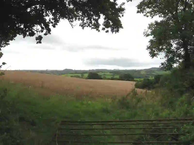
Mendip was a local government district in Somerset, England, known for its rural landscape. It covered an area of 285 square miles and included towns like Frome and Shepton Mallet. The district was established in 1974 and was named after the Mendip Hills. It was part of a merger that combined several boroughs and districts. In 2023, Mendip was dissolved and became part of Somerset Council.
Source: Wikipedia (CC BY-SA 4.0) and Wikidata, rewritten for RoadBreakMap.
EV chargers (134)Fuel (82)Public toilets (73)Drive-throughs (22)Diesel (18)
Places
Listed with the most recorded facilities first. This is not a rating or a recommendation; always check before you travel.
- Cross Keys SF Connect
- Open 24 hours
- Wheelchair access
- Gridserve
- Open 24 hours
- Fee applies
- EV charging
- McDonald's
- Open 24 hours
- Wheelchair access
- Sainsbury's
- Open 24 hours
- Wembdon Service Station
- Open 24 hours
- Wheelchair access
- Public toilets
- Opening hours listed
- Wheelchair access
- Baby change
- Free
- Asda
- Open 24 hours
- Bridgwater Self Serve
- Opening hours listed
- Gridserve
- Open 24 hours
- Fast EV (60 kW)
- Moto Bridgwater Services
- Baby change
- Sainsbury's
- Opening hours listed
- Shell
- Opening hours listed
- South Petherton Service Station
- West Yeovil SF Connect
- Open 24 hours
- Fuel
- Open 24 hours
- Public toilets
- Opening hours listed
- Wheelchair access
- Baby change
- Public toilets
- Open 24 hours
- Wheelchair access
- Free
- Public toilets
- Wheelchair access
- Free
- BP
- Opening hours listed
- BP
- Esso
- Opening hours listed
- Esso
- Open 24 hours
- Greenway Garage
- Gridserve
- Opening hours listed
- Fast EV (148 kW)
- Lydford Services
- Opening hours listed
- McDonald's
- Opening hours listed
- Wheelchair access
- McDonald's
- Open 24 hours
- McDonald's
- Open 24 hours
- Morrisons
- Mount Street Garage
- Opening hours listed
- Riverside Garage
- Sainsbury's
- Sainsbury's Hankridge Farm EV Charging
- Fee applies
- Fast EV (240 kW)
- Shell
- Opening hours listed
- Shell
- Open 24 hours
- bp pulse
- Fee applies
- Public toilets
- Wheelchair access
- Baby change
- Free
- Public toilets
- Wheelchair access
- Baby change
- Free
- Public toilets
- Wheelchair access
- Free
- Public toilets
- Wheelchair access
- Baby change
- Free
- Public toilets
- Wheelchair access
- Free
- Public toilets
- Wheelchair access
- Free
- Asda
- Asda
- Asda Express
- Blake Service Station
- Boots
- Opening hours listed
- Cartgate Garage
- Esso
- Esso
- Greggs
- Opening hours listed
- KFC
- Opening hours listed
- KFC
- Opening hours listed
- KFC
- Opening hours listed
- MFG Energy
- McDonald's
- Opening hours listed
- McDonald's
- Opening hours listed
- McDonald's
- Opening hours listed
- McDonald's
- Opening hours listed
- Morrisons Petrol
Showing 60 of 316. See more on the map
Nearby: Dorchester Bristol Bath Cardiff Poole Newport Exeter Gloucester Bournemouth Swindon Cheltenham Worcester
Places, opening hours and charger details come from open data and may be incomplete, out of date or wrong. Never use your phone while driving. Disclaimer & terms