Road stops in Derby, England, the United Kingdom
RoadBreakMap lists 277 mapped road stops in Derby, England, the United Kingdom: fuel, EV chargers, rest areas, drive-throughs and public toilets, where the data has them. Data: OpenStreetMap and Open Charge Map.
About Derby
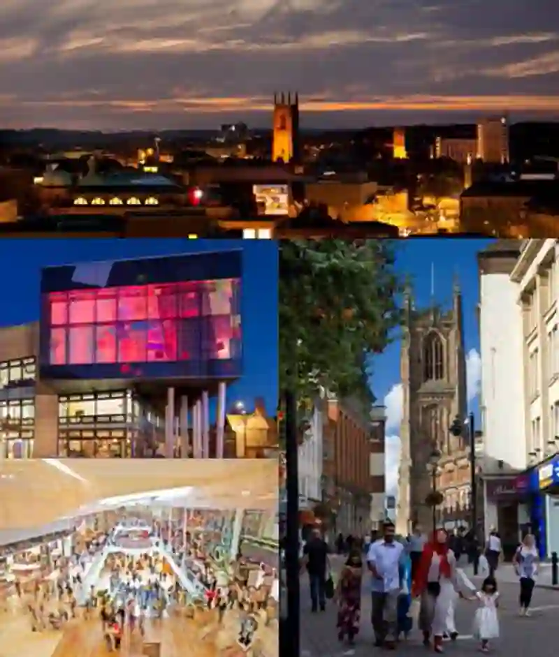
Derby is a city located in Derbyshire, England, on the River Derwent. It was founded in 600 and has served as a market town before growing rapidly in the industrial era. The city is known for its advanced transport manufacturing, including companies like Rolls-Royce and Alstom. Derby has a cathedral and was once the county town before Matlock. It became a unitary authority area, independent from Derbyshire County Council.
Source: Wikipedia (CC BY-SA 4.0) and Wikidata, rewritten for RoadBreakMap.
EV chargers (127)Public toilets (73)Fuel (53)Drive-throughs (19)
Places
Listed with the most recorded facilities first. This is not a rating or a recommendation; always check before you travel.
- Parent Room
- Opening hours listed
- Wheelchair access
- Baby change
- Free
- Public toilets
- Open 24 hours
- Wheelchair access
- Baby change
- Fee applies
- Derby Supercharger
- Open 24 hours
- Fee applies
- EV charging
- Public toilets
- Opening hours listed
- Wheelchair access
- Baby change
- Fee applies
- Gridserve
- Open 24 hours
- EV charging
- Gridserve
- Open 24 hours
- EV charging
- Gridserve
- Open 24 hours
- EV charging
- McDonald's
- Open 24 hours
- Wheelchair access
- Moto Donington Park Services
- Baby change
- Ring Road Service Station
- Open 24 hours
- Shell
- Open 24 hours
- The Co-operative
- Open 24 hours
- EV chargers
- Open 24 hours
- Fee applies
- Public toilets
- Wheelchair access
- Baby change
- Free
- Public toilets
- Opening hours listed
- Wheelchair access
- Free
- Public toilets
- Opening hours listed
- Wheelchair access
- Free
- Public toilets
- Opening hours listed
- Wheelchair access
- Free
- Public toilets
- Open 24 hours
- Wheelchair access
- Fee applies
- BP
- Open 24 hours
- BP
- Open 24 hours
- Derby Station
- Wheelchair access
- Baby change
- Free
- Derby Station
- Wheelchair access
- Baby change
- Free
- Essar
- Euro Welcome Service Station
- Heanor Road Service Station
- Opening hours listed
- Mackworth Service Station
- Open 24 hours
- McDonald's
- Open 24 hours
- Select and Save Express
- Shell
- Open 24 hours
- bp pulse
- Fee applies
- Fast EV (50 kW)
- Public toilets
- Wheelchair access
- Baby change
- Free
- Public toilets
- Wheelchair access
- Baby change
- Free
- Public toilets
- Wheelchair access
- Baby change
- Free
- Public toilets
- Wheelchair access
- Baby change
- Free
- Public toilets
- Wheelchair access
- Baby change
- Free
- Public toilets
- Wheelchair access
- Baby change
- Free
- Public toilets
- Opening hours listed
- Wheelchair access
- Free
- Asda
- BP
- BP
- Wheelchair access
- BP Pulse
- BP Pulse
- BP Pulse
- BP Pulse
- Costa
- Opening hours listed
- Costa Drive Thru
- Wheelchair access
- Costa Drive Thru
- Opening hours listed
- Costa Drive Thru
- Opening hours listed
- Cottage Service Station
- Derby Services
- Duke of York filling station
- Opening hours listed
- Erewash Valley Service Station
- Esso
- Gulf
- Instavolt McDonalds Markeaton
- EV charging
- JET
- KFC
- Opening hours listed
- McDonald's
- Opening hours listed
- McDonald's
- Opening hours listed
- McDonald's
- Opening hours listed
Showing 60 of 277. See more on the map
Nearby: Burton upon Trent Chesterfield Nottingham Mansfield Sutton Coldfield Leicester Sheffield Rotherham Coventry Walsall Birmingham Stoke-on-Trent
Places, opening hours and charger details come from open data and may be incomplete, out of date or wrong. Never use your phone while driving. Disclaimer & terms