Road stops in Belfast, Northern Ireland, the United Kingdom
RoadBreakMap lists 204 mapped road stops in Belfast, Northern Ireland, the United Kingdom: fuel, EV chargers, rest areas, drive-throughs and public toilets, where the data has them. Data: OpenStreetMap and Open Charge Map.
About Belfast
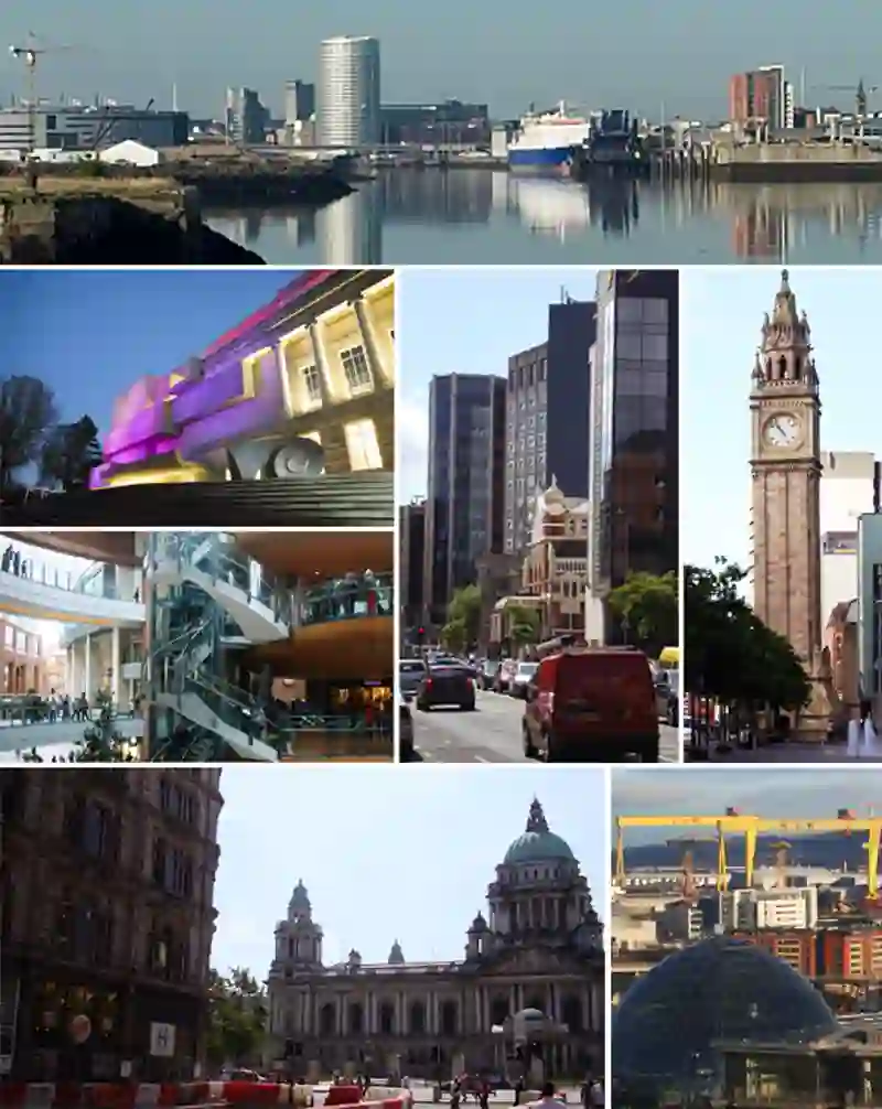
Belfast is the capital and largest city of Northern Ireland, located on the banks of the river Lagan. It is the main port of the region and has a population of over 345,000. The city has a history of industrial growth, particularly in linen manufacture and shipyards. Belfast has faced periods of violence related to its sectarian divisions, but has seen growth in the services sector, including financial technology and tourism.
Source: Wikipedia (CC BY-SA 4.0) and Wikidata, rewritten for RoadBreakMap.
Places
Listed with the most recorded facilities first. This is not a rating or a recommendation; always check before you travel.
- Adair Arms Hotel
- EV up to 7 kW
- Allen Park Leisure Centre
- EV up to 7 kW
- Aloft & Residence Inn
- EV up to 11 kW
- Andrew Ingredients
- EV up to 11 kW
- Ann Street Car Park
- EV up to 22 kW
- Antrim & Newtownabbey Crematorium
- EV up to 22 kW
- Antrim Civic Centre
- EV up to 7.4 kW
- Antrim Road Car Park
- EV up to 22 kW
- Aquinas Diocesan Grammar School
- EV up to 22 kW
- Ards Blair Mayne Wellbeing & Leisure Complex
- Fast EV (75 kW)
- Ards Hospital
- EV up to 22 kW
- Avoniel Leisure Centre
- Fast EV (50 kW)
- Ballee Road Park & Share
Seven Towers Roundabout
Ballymena
- EV up to 22 kW
- Ballygally Castle
- EV up to 22 kW
- Ballymote Sports & Wellbeing Centre
- Fast EV (50 kW)
- Ballyoran Centre
- EV up to 22 kW
- Ballysillan Leisure Centre
- Fast EV (75 kW)
- Banbridge Health Centre
- EV up to 22 kW
- Banbridge The Boulevard
- Fast EV (400 kW)
- Bangor Aurora Aquatic & Leisure Complex
- Fast EV (75 kW)
- Bangor Sportsplex
- Fast EV (50 kW)
- Barbican Centra A1, Banbridge
- Fast EV (150 kW)
- Bavarian BMW, 2 Boucher Crescent
- Belfast City Airport
- Fast EV (60 kW)
- Belfast Harbour Gatehouse
- EV up to 7 kW
- Bingham Lane
- EV up to 22 kW
- Bloomfield Shopping Centre & Retail Park
- Fast EV (200 kW)
- Brook Leisure Centre
- Fast EV (50 kW)
- Brownlow Health Centre
- EV up to 7 kW
- Cannon Motors LTD-Hyundai
- EV up to 7 kW
- Castlecourt Shopping Centre
- EV up to 17 kW
- Catalyst (Front)
- EV up to 22 kW
- Catalyst (Front)
- EV up to 22 kW
- Catalyst (Rear)
- EV up to 7.7 kW
- Central Park
- Fast EV (120 kW)
- Charles Hurst Dundonald-Hyundai
- EV up to 7 kW
- Circular Road West Car Park
- Fast EV (200 kW)
- City East Business Centre
- EV up to 24 kW
- Clotworthy Arts & Heritage Centre
- EV up to 7 kW
- Comber REC
- Fast EV (75 kW)
- Construction Employers Federation (CEF)
- EV up to 22 kW
- Cordia Apartments
- EV up to 7 kW
- Craigavon Area Hospital
- EV up to 22 kW
- Craigavon Area Hospital
- EV up to 22 kW
- Craigavon Area Hospital
- EV up to 22 kW
- Crown & Shamrock
- Fast EV (120 kW)
- Crown Plaza Hotel
- EV up to 24 kW
- Crumlin Community Centre (Car Park)
- EV up to 7 kW
- Culloden Hotel & Spa
- EV up to 13 kW
- Curran Court Hotel
- EV up to 22 kW
- DRD Car Park
- Fast EV (100 kW)
- DRD Car Park Cornmill Coalisland
- EV up to 22 kW
- DRD Carpark, Harrier Way
- EV up to 22 kW
- Dalys Garage-Hyundai
- EV up to 7 kW
- Dogs Trust - Ballymena
- EV up to 11 kW
- Down Leisure Centre
- Fast EV (180 kW)
- Downshire Arms
- EV up to 24 kW
- Downshire Civic Centre
- Fast EV (50 kW)
- Downshire Hospital (Staff Car Park 1)
- EV up to 22 kW
- Downshire Hospital (Staff Car Park 2)
- EV up to 22 kW
Showing 60 of 204. See more on the map
Nearby: Newry Portadown Coleraine Stranraer Kilwinning Omagh Ayr Newton Stewart Enniskillen Holyhead Oban Glasgow
Places, opening hours and charger details come from open data and may be incomplete, out of date or wrong. Never use your phone while driving. Disclaimer & terms